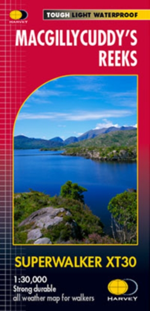
Wandelkaart Macgillycuddy's Reeks | Harvey Maps
Een bijzonder handige kaart van dit gebied. Op waterafstotend papier met veel details.
Includes the whole of the Killarney National Park.
Detailed map for hillwalkers of MacGillycuddy’s Reeks at 1:30,000 scale.
Summit enlargement of Carrauntoohil at 1:15,000.
Shows tracks, paths and cliffs in detail.
As used by Mountain Rescue Ireland.
Tough, light, durable and 100% waterproof
Genuine, original, HARVEY mapping
Easy to re-fold
€ 24,95
Verzendkosten: Zie website leverancierNu bestellen bij De Zwerver
Specificaties
Merk:
NOMAD
EAN:
8713044790999
Je bestelt bij:
De Zwerver
Categorie:
Subcategorie:
Maat:
One Size
Materiaal:
n.v.t.
Levertijd:
Aantal beschikbaar:
n.b.
Verkoopprijs
€ 24,95
Prijzen vanaf:
€ 239.95
Verzendkosten:
Zie website leverancier
ISBN:
Editie:
Uitgever:
Beschrijft het volgende gebied:
Europa - Ierland -
Taal:
Direct bestellen:

