
Wandelkaart Macizo de Fuentes Carrionas | Adrados Ediciones
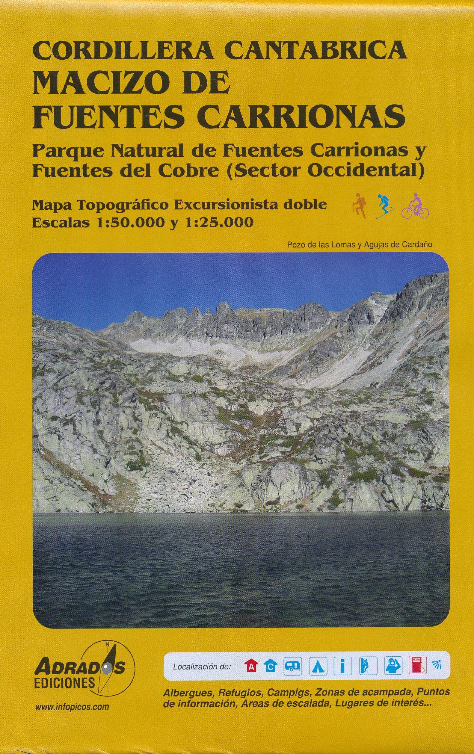
Fuentes Carrionas Massif, just south of the Picos de Europa, on a detailed hiking map from Adrados Ediciones combining coverage at 1:60,000 of the western part of Fuentes Carrionas and Fuentes del Cobre Natural Park with more detailed mapping at 1:25,000 of Peña Prieta Massif.
The main map at 1:50,000 has contours at 20m intervals with bold relief shading and altitude colouring. Numerous peaks and other topographical features are named. Hiking, mountain bike and ski trails are highlighted and symbols mark campsites, mountain shelters and cabins, viewpoints, climbing areas, tourist information centres, locations of petrol stations, etc.
On the reverse the central part of the main map, the Peña Prieta Massif is shown at 1:25,000 with the excellent cartography used in the publishers’ coverage of the Picos de Europa. Contours are at 10, intervals with additional graphic relief for exposed rocky faces.
€ 14,95
Verzendkosten: € 2,95Specificaties
Merk:
n.b.
EAN:
Je bestelt bij:
De Zwerver
Categorie:
Subcategorie:
Maat:
n.v.t.
Materiaal:
n.v.t.
Levertijd:
Aantal beschikbaar:
n.b.
Verkoopprijs
€ 14,95
Prijzen vanaf:
n.v.t.
Verzendkosten:
€ 2,95
ISBN:
9788493317713
Editie:
Uitgever:
Adrados Ediciones
Beschrijft het volgende gebied:
Europa - Spanje - Noordwest Spanje - Galicië - Asturië
Taal:
Anderstalig
Direct bestellen: