
Wandelkaart Mount Kenya | EWP
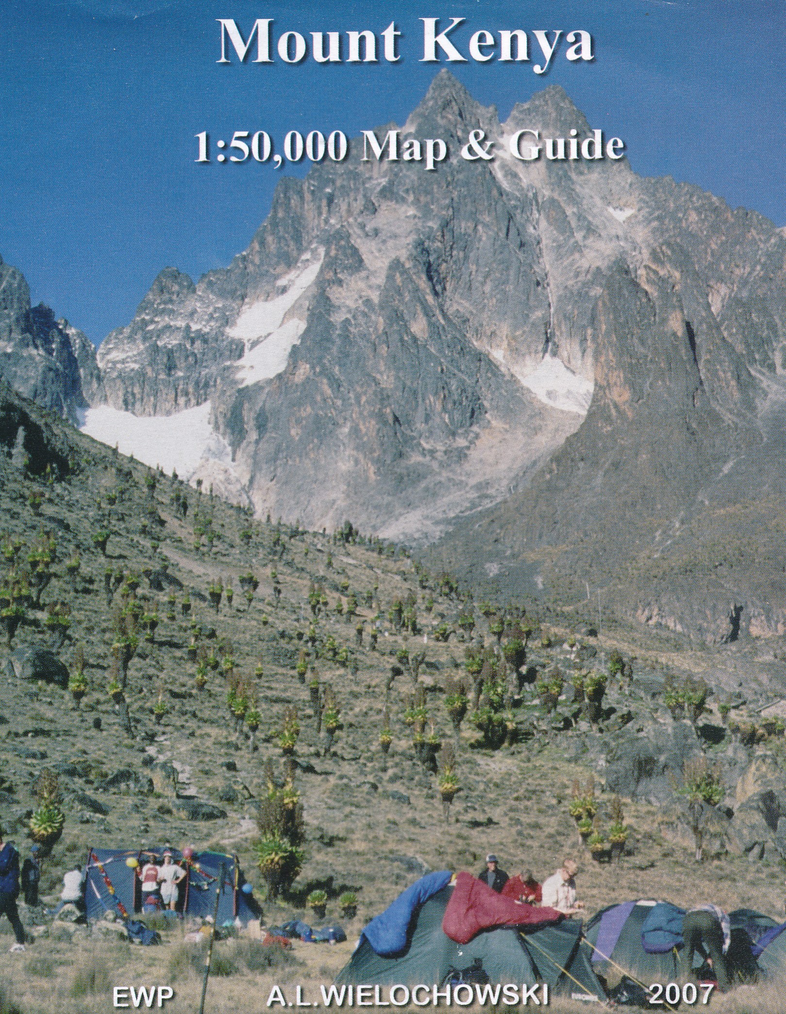
1:50,000 - 4 colour topographical map of the National Park Area
1:25,000 - 4 colour topographical map of the Peak Area
1:400,000 - Map of roads around Mount Kenya
Also several climbing route diagrams
Information in German, French and Italian
Geology and Glaciology
Flora and Fauna
Medical Aspects
Weather and Climate
Access and Walking Routes
Climbing Routes
Porters
Cooking and Food
Accommodation
Useful Contacts
€ 16,25
Verzendkosten: € 2,95Specificaties
Merk:
n.b.
EAN:
Je bestelt bij:
De Zwerver
Categorie:
Subcategorie:
Maat:
n.v.t.
Materiaal:
n.v.t.
Levertijd:
Aantal beschikbaar:
n.b.
Verkoopprijs
€ 16,25
Prijzen vanaf:
n.v.t.
Verzendkosten:
€ 2,95
ISBN:
9780906227961
Editie:
2007
Uitgever:
EWP
Beschrijft het volgende gebied:
Afrika - Kenia -
Taal:
Engels
Direct bestellen: