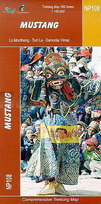
Wandelkaart NP108 Mustang - Nepal | Himalayan Maphouse
Zeer gedetailleerde topografische wandelkaart. Dit is een nieuwe serie kaarten die de Great Himalaya Trail (GHT) in Nepal volgt. Kaart 1 begint in het oosten van Nepal, de volgende kaarten lopen richting noordwest tot India.
Watervaste trekkingkaart met ingetekende GHT High route en andere belangrijke trekkingroutes in de omgeving: GHT Cultural Trail, Main Trekking Route. Geeft wandelwegen weer, hoogtelijnen, nederzetingen, campings, tempels en kloosters, tourist infos, hotels etc.
The Far West is one of the least explored areas of Nepal. Its area is bounded to the east by mighty, turquoise Karnali river which flows from Tibet's sacred Mount Kailash. Myth and superstition remain part of the fabric of life here. One Nepali visitor described his visit as “fascinating, like travelling back to the 18th century.”
Humla, the Hidden Himalaya, is also known as the Gateway to Mt. Kailash and many pilgrims make their way along the turquoise Karnali river, 'the pulse of the earth', to the border with Tibet. A detour north into Limi Valley makes for a special experience.
€ 19,95
Verzendkosten: € 2,95Nu bestellen bij De Zwerver

