
Wandelkaart Ochil Hills | Harvey Maps
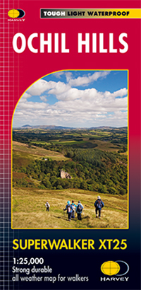
Superwalker is designed to be the most practical tool for navigation outdoors. The format gives more mapping on the sheet without making the map heavy and bulky. The fold has been developed to allow you to open directly to any part and either side of the sheet easily - no more struggling in the wind. From Gleneagles and Auchterarder in the north and bordered by the A91 Hillfoots road in the south, this 1:25000 map for hillwalkers covers Dumyat, Ben Cleuch and Castle Craig etc. The reservoirs and hills of Glen Devon are also covered. There are enlargements of Alva, Tillicoultry, and Dollar Glens also included for easy navigation of these popular glens. The clarity of the map has also been improved to enable more people to read it without their glasses. The precise contouring and delicate hill shading give an immediate picture of the ground. Experience the satisfaction of fine navigation with the Superwalker XT25, now printed on our 100% waterproof and almost indestructible paper whatever the weather.
€ 24,95
Verzendkosten: € 2,95Specificaties
Merk:
n.b.
EAN:
Je bestelt bij:
De Zwerver
Categorie:
Subcategorie:
Maat:
n.v.t.
Materiaal:
n.v.t.
Levertijd:
Aantal beschikbaar:
n.b.
Verkoopprijs
€ 24,95
Prijzen vanaf:
n.v.t.
Verzendkosten:
€ 2,95
ISBN:
9781851373086
Editie:
20-08-2021
Uitgever:
Harvey Maps
Beschrijft het volgende gebied:
Europa - Schotland - Lowlands | Schotse Laaglanden en grenzen
Taal:
Direct bestellen: