
Wandelkaart Rio los Cipreses - Chili | Viachile Editores
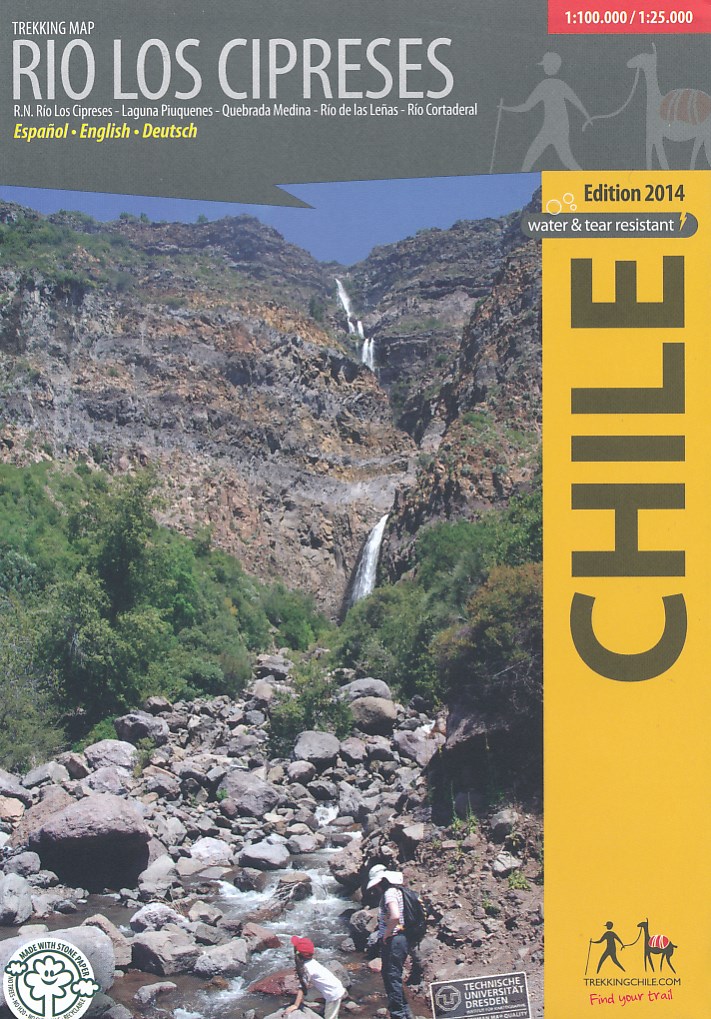
Hiking map of the National Preserve Rio Los Cipreses east of Rancagua, developed by the Institute for Cartography at the Dresden Technical University. Overview map1:100,000 showing the whole preserve with the Laguna Piuquenes and several 4,000 meter summits, being El Palomo volcano the highest with 4860 m. Detail map 1:25,000 of the preserve’s entrance area. GPS compatible, with hiking routes, level curves every 50 m, mountain huts, lodgings and campsites. Landscape pictures and drawings of the local fauna. English - German - Spanish.
€ 18,95
Verzendkosten: € 2,95Specificaties
Merk:
n.b.
EAN:
Je bestelt bij:
De Zwerver
Categorie:
Subcategorie:
Maat:
n.v.t.
Materiaal:
n.v.t.
Levertijd:
Aantal beschikbaar:
n.b.
Verkoopprijs
€ 18,95
Prijzen vanaf:
n.v.t.
Verzendkosten:
€ 2,95
ISBN:
9789568925260
Editie:
None
Uitgever:
Viachile Editores
Beschrijft het volgende gebied:
Zuid-Amerika - Chili -
Taal:
Engels - Spaans
Direct bestellen: