Wandelkaart Santiago - Kaapverdische Eilanden | AB Kartenverlag
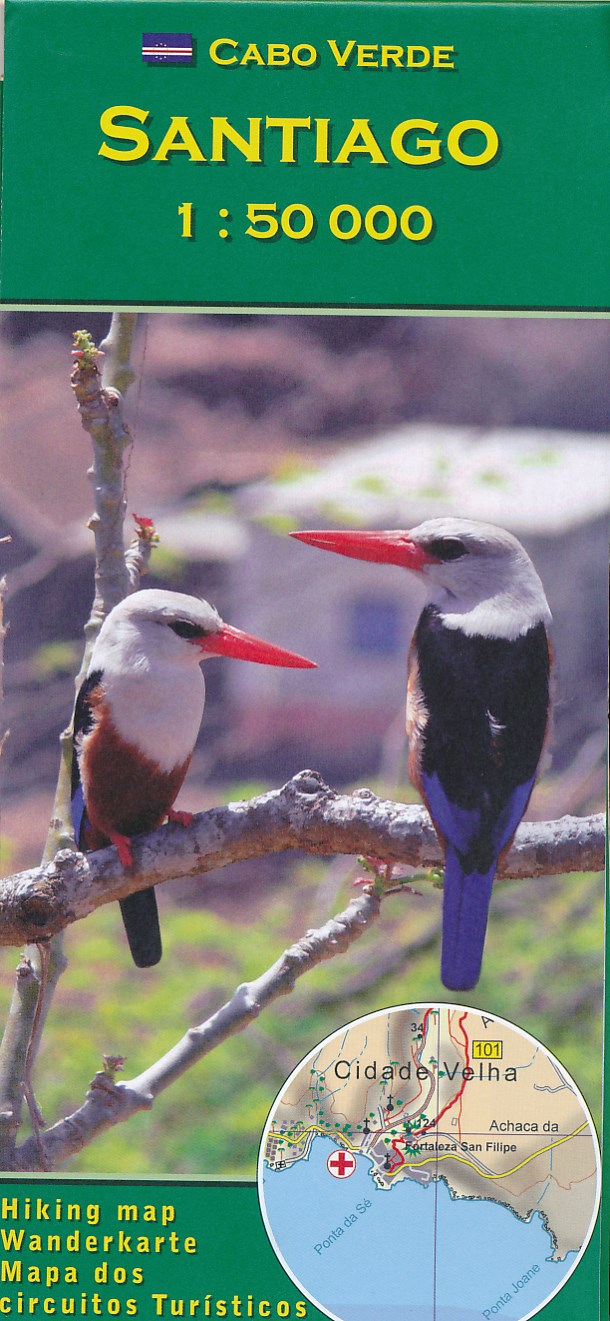
Santiago Island in the Cape Verde archipelago on a detailed, GPS compatible map at 1:50,000 from AB Kartenverlag, highlighting 33 hiking and mountain bike routes and including small plans of Praia, Tarrafal and Cidade Velha.
The map is double-sided with a very generous overlap between the sides. Contours with relief shading and spot heights present the topography. The map shows the network of local roads, tracks and footpaths. Symbols indicate locations of viewpoints, diving sites and medical facilities.
33 selected walks, from one to five hours long, are highlighted on the map and listed in a table with details of the terrain, altitude, degree of difficulty and suitability as mountain bike routes. Map legend and all the accompanying text include English.
Also included are small plans of Praia, Tarrafal and Cidade Velha, indicating main facilities.
€ 17,95
Verzendkosten: € 2,95Nu bestellen bij De Zwerver

