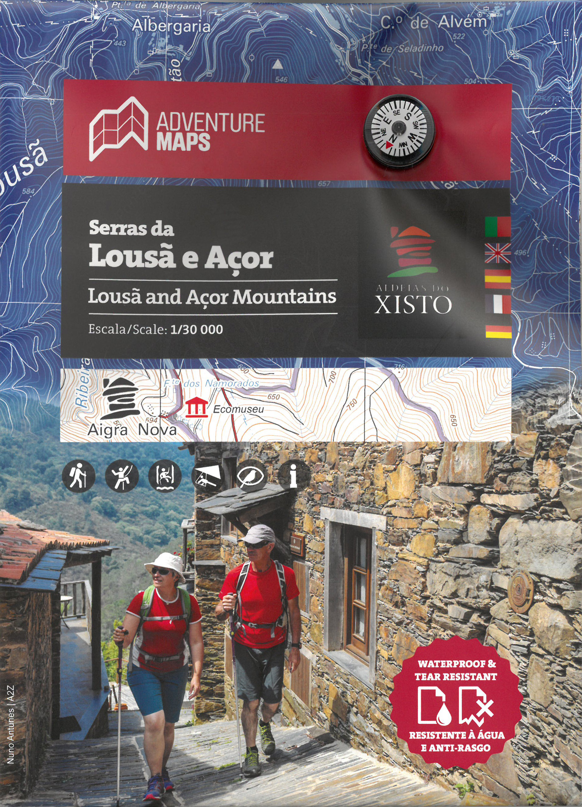
Wandelkaart Serras da Lousa e Acor | Adventure MAPS
Prachtige topografische wandelkaart van de Serras da Lousa e Acor.
Schaal: 1:30.000
Legenda en aanvullende informatie PT, EN, ES, FR en DE
Magnetisch kompas opgenomen
Net van toeristische paden
Toeristische bezienswaardigheden in de omgeving van de symboliek (monumenten, mooie vergezichten, picknickplaatsen, musea en toeristische kantoren)
Klimmen, surfen, duiken, paragliding en de stranden
Offset contouren van 10 m
Gauss rooster met afdelingen van 1 Km
Coördinaten WGS84 (compatibel met GPS)
Vertegenwoordiging van magnetische declinatie
Printing: Duplex
Topographic map at 1/30 000 scale, subtitled in Portuguese, English, Spanish, French and German, including the entire network of pedestrian paths in the referenced area, tourist attractions such as the Schist Villages, river beaches, bathing areas, waterfalls, campsites, picnic areas, tourist offices, climbing and hang gliding spots, among others.
Schist Villages - Aigra Nova | Aigra Velha |Aldeia das Dez | Benfeita | Candal | Casal Novo | Cerdeira | Chiqueiro | Comareira | Fajão | Gondramaz | Pena | Talasnal | Vila Cova do Alva
Historic Villages of Portugal - Piódão
Protected Area - Protected Landscape of the Açor Mountains
€ 23,50
Verzendkosten: Zie website leverancierNu bestellen bij De Zwerver

