Wandelkaart Sierra de Gredos | Adrados Ediciones
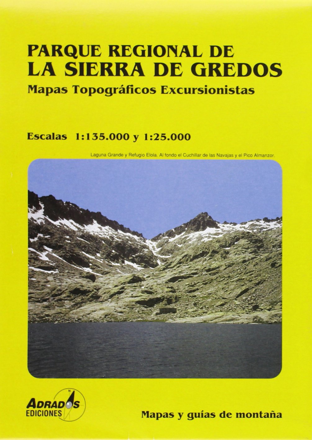
On one side is a detailed 1:25,000 walking map concentrating on the central sector of the Regional Park around the Almanzor and La Mira peaks. Detailed contours are at 10m intervals, walking trails are marked and springs & refuges are highlighted.
On the reverse is a smaller scale map at 1:135,000 extending over a larger area - well beyond the limits of the Regional Park border, to Avila in the extreme north east of the sheet and to Jaraiz de la Vera in the south west. It shows the general topography of the region through contouring, altitude tinting and hill shading, and includes roads and paths with symbols for petrol stations, campsites, refuges and information offices. Map legend and explanatory notes for interpreting the maps are in Spanish only.
UTM grid lines are printed over both maps.
€ 14,95
Verzendkosten: Zie website leverancierNu bestellen bij De Zwerver

