
Wandelkaart South Africa: Hike the Cederberg | Slingsby Maps
HIKE THE CEDERBERG:
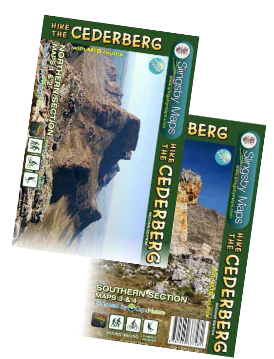
There are two double-sided A1-sized maps in the set (i.e., four maps in all), covering the entire Cederberg Wilderness and extending north to Wolfdrif and south to Mount Ceder.
The maps are printed on Duraflex waterproof material and are packaged together in a folding slipcase. The maps are not available separately.
More than a hundred hikers, mountaineers, conservationists and locals have contributed their special knowl- edge to the project, which has been proudly endorsed by CapeNature.
Every single public footpath has been researched on foot, and the maps include distances between path junctions, as well as GPS coordinates, altitudes, etc. etc.
€ 29,95
Verzendkosten: Zie website leverancierSpecificaties
Merk:
n.b.
EAN:
Je bestelt bij:
De Zwerver
Categorie:
Subcategorie:
Maat:
n.v.t.
Materiaal:
n.v.t.
Levertijd:
Aantal beschikbaar:
n.b.
Verkoopprijs
€ 29,95
Prijzen vanaf:
n.v.t.
Verzendkosten:
Zie website leverancier
ISBN:
Editie:
Uitgever:
Beschrijft het volgende gebied:
Afrika - Zuid-Afrika -
Taal:
Direct bestellen: