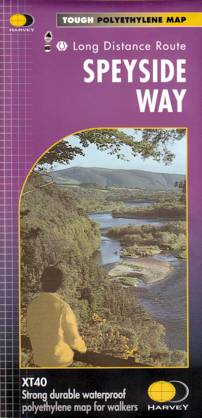
Wandelkaart Speyside Walk (Schotland) | Harvey Maps
Een bijzonder handige kaart van dit lange-afstands-wandelpad van 144 km. Op waterafstotend papier met veel details, uitstekend en voldoende voor deze route.
A leap forward in technical excellence: Tough, durable and 100% waterproof - virtually indestructible in normal use.
Compact and light - the map itself weighs just 60gms - a third of the weight of a bulky laminated map. You can fold or refold it time and again, or stuff it in your back pocket and it won't fall to pieces.
Shows the entire route on one sheet.
144km (90 miles) from Aviemore to Buckie, via Nethybridge, Grantown and Fochabers, with a spur to Tomintoul.
€ 25,95
Verzendkosten: € 2,95Nu bestellen bij De Zwerver
Specificaties
Merk:
n.b.
EAN:
Je bestelt bij:
De Zwerver
Categorie:
Subcategorie:
Maat:
n.v.t.
Materiaal:
n.v.t.
Levertijd:
Aantal beschikbaar:
n.b.
Verkoopprijs
€ 25,95
Prijzen vanaf:
n.v.t.
Verzendkosten:
€ 2,95
ISBN:
9781851374878
Editie:
26-03-2021
Uitgever:
Harvey Maps
Beschrijft het volgende gebied:
Europa - Schotland - Schotse Hooglanden & Speyside
Taal:
Engels
Direct bestellen:

