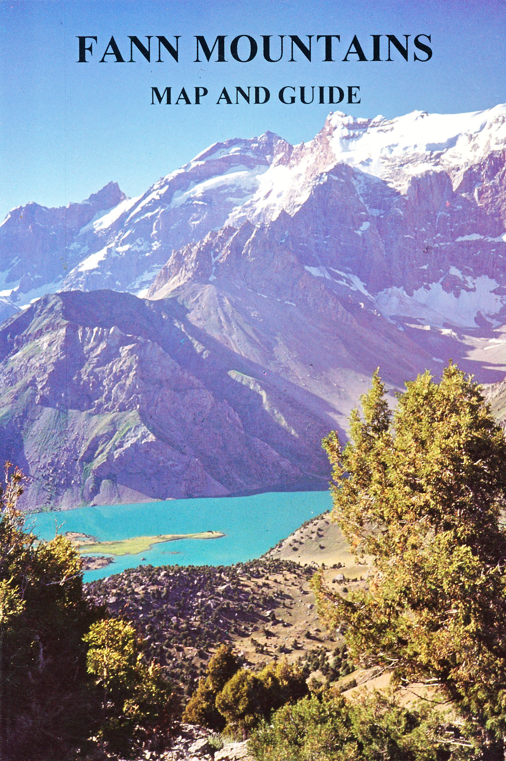
Wandelkaart - Topografische kaart Fann Mountains | EWP
Het Fann-gebergte maakt deel uit van het westelijke Pamir-Alay-gebergte in de provincie Sughd in Tadzjikistan, tussen het Zarafshan-gebergte in het noorden en het Gissar-gebergte in het zuiden.
This is one of a series of topographic maps of the mountain ranges of Central Asia. The map is at a scale of 1:100,000 (1cm = 1km) and contours are shown at 50m intervals with master contours every 200m. There are two smaller maps on the reverse, one at 1:100,000 of the ridges, passes, summits and glaciers and one at 1:5,000,000 showing the area covered within the map in it's location within Central Asia.
The reverse of the map is the guide which includes the following:
Location
Geology and Relief
Climate
Glaciation
Rivers and lakes
Altitude Zoning
Mountains and Passes
Fauna
History
Population and language
Guides and Donkeys
Accommodation and food
Conservation and Rubbish/Garbage
Countryside and Traditions
Useful local works in Russian and Tajik
Access, Visas and Permits
Useful Contacts.
€ 19,95
Verzendkosten: Zie website leverancierNu bestellen bij De Zwerver

