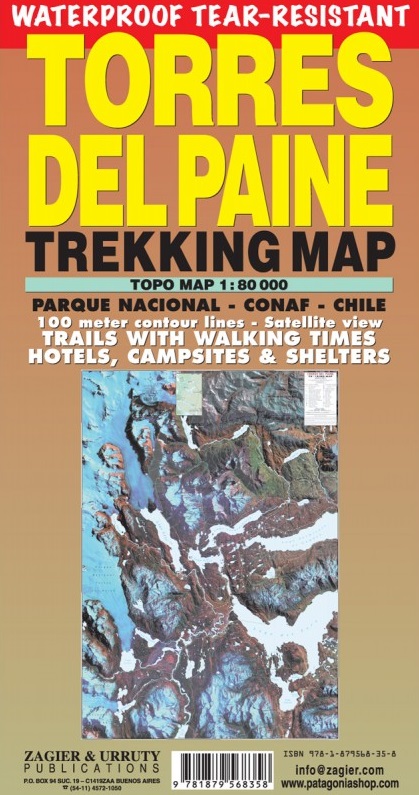
Wandelkaart Torres del Paine Trekkingmap | Zagier & Urruty
Wandelkaart gebaseerd op satellietfoto met ingetekende hoogtelijnen, campsites, routes en hutten.
The biggest and more updated trekking map of the famous Park. Satellital relief, contour lines, timed trails, shelters, camping and inns. Recommended by the National Parks Administration and the National Tourist Service.
Uitgevouwen 70 x 95 cm
€ 18,95
Verzendkosten: € 2,95Nu bestellen bij De Zwerver
Specificaties
Merk:
n.b.
EAN:
Je bestelt bij:
De Zwerver
Categorie:
Subcategorie:
Maat:
n.v.t.
Materiaal:
n.v.t.
Levertijd:
Aantal beschikbaar:
n.b.
Verkoopprijs
€ 18,95
Prijzen vanaf:
n.v.t.
Verzendkosten:
€ 2,95
ISBN:
9781879568358
Editie:
2019
Uitgever:
Zagier & Urruty
Beschrijft het volgende gebied:
Zuid-Amerika - Argentinië - Patagonië
Taal:
Engels
Direct bestellen:

