
Wandelkaart Toubkal & Marrakech | Cordee
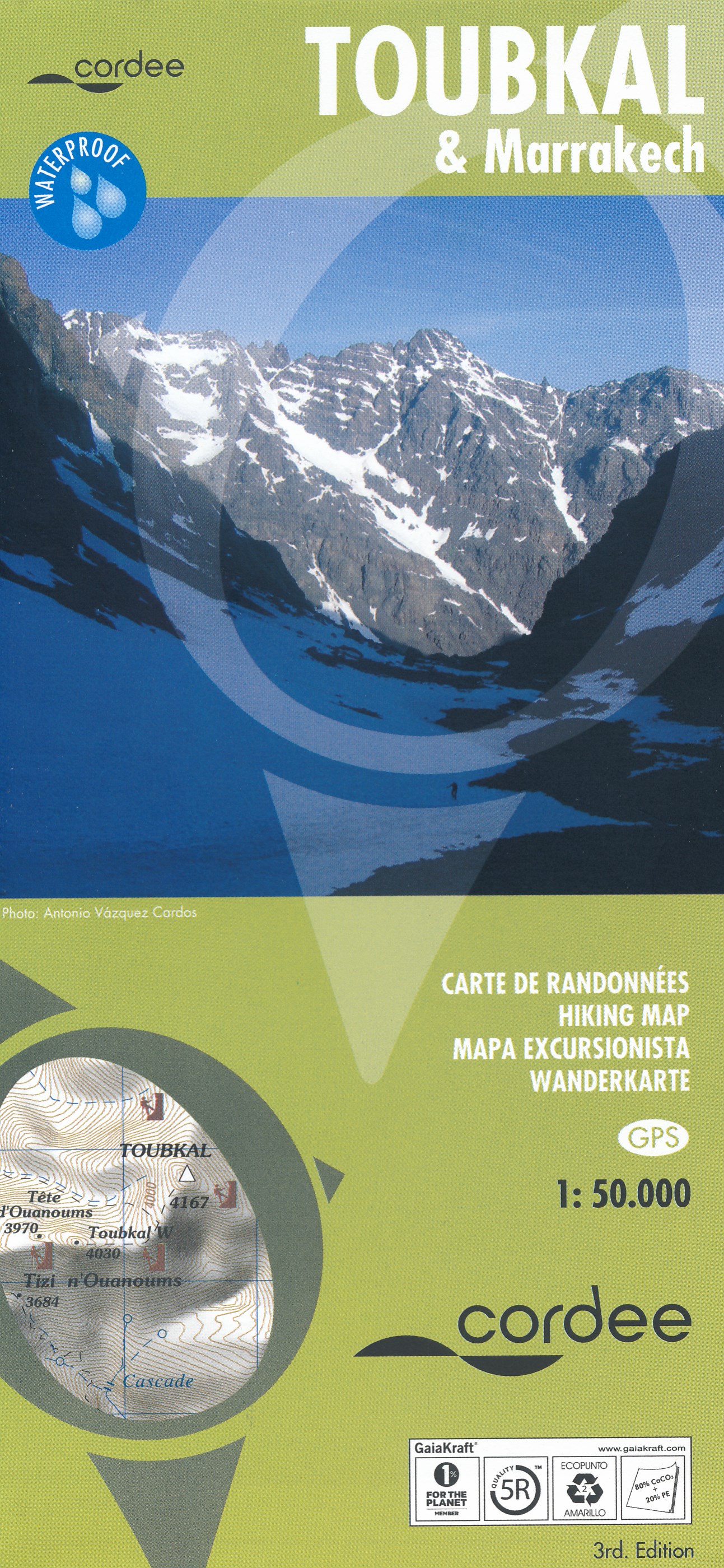
Een uitstekende (geplastificeerde) wandelkaart (1:50.000) van de omgeving van de Toubkal. Uitermate geschikt voor de beklimming en aansluitende trektocht. Met op de achterkant een stadsplattegrond van Marrakech.
A detailed, accurate and up-to-date trekking map of Jebel Toubkal in the High Atlas mountains of Morocco, the highest peak in North Africa and popular trekking destination. A street plan of Marrakech is on the reverse. 1:50,000 topographic map detail includes contours at 20m intervals, hill-shading, woodland and scrub areas, springs, creeks, rivers and dry riverbeds. Road detail includes tracks and footpaths, and funicular railways and ski-lifts are also indicated. Isolated buildings are marked and symbols show ski-stations, refuges and religious buildings. A 1km UTM grid is drawn over the map and margin ticks are at 1’ intervals. n the reverse is a clear plan of Marrakech at approximately 1:8,700. It covers the Medina district and extends westwards to the main railway terminus. Colours highlight main sites of interest, public buildings, shopping areas/markets and pedestrian zones. One-way streets are marked and symbols show a range of useful features e.g. hotels, taxi ranks, car parks, information offices, petrol stations, public water fountains, places of worship, police stations, hospitals etc.
€ 19,95
Verzendkosten: € 2,95Specificaties
Merk:
n.b.
EAN:
Je bestelt bij:
De Zwerver
Categorie:
Subcategorie:
Maat:
n.v.t.
Materiaal:
n.v.t.
Levertijd:
Aantal beschikbaar:
n.b.
Verkoopprijs
€ 19,95
Prijzen vanaf:
n.v.t.
Verzendkosten:
€ 2,95
ISBN:
9781904207474
Editie:
meest recente editie
Uitgever:
Cordee
Beschrijft het volgende gebied:
Afrika - Marokko - Atlas gebergte
Taal:
Engels
Direct bestellen: