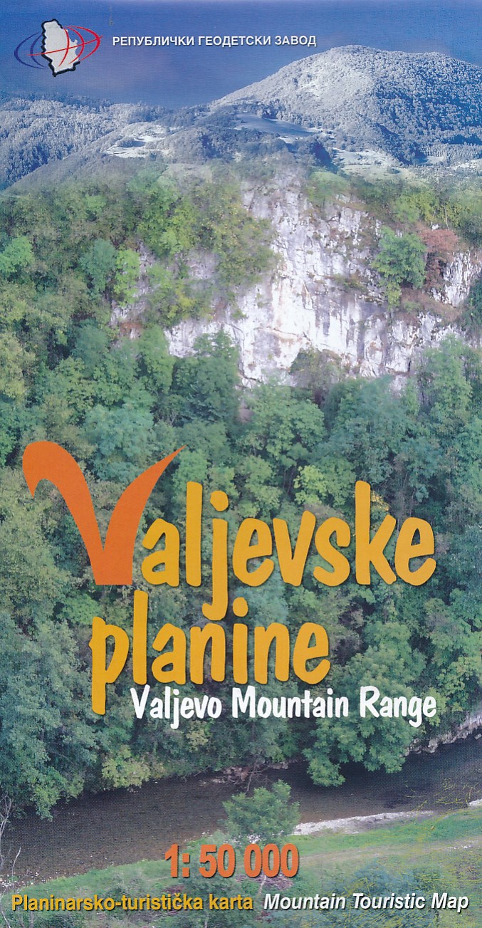
Wandelkaart Valjevske planine - mountain range | GeoSrbija
Gedetailleerde wandelkaart met ingetekende wandelroutes. Hoogtelijnen, hutten staan vermeld. Op de achterzijde informatie over flora en fauna en toeristische bezienswaardigheden.
North-West Serbia
This map covers the popular tourist areas
Very detailed full colour topographc mapping
Footpaths and hiking trails clearly marked
Spot heights and relief shading
Contours at 20m vertical intervals
Reverse on map includes useful local information in English and Serbian
€ 12,95
Verzendkosten: € 2,95Nu bestellen bij De Zwerver
Specificaties
Merk:
n.b.
EAN:
Je bestelt bij:
De Zwerver
Categorie:
Subcategorie:
Maat:
n.v.t.
Materiaal:
n.v.t.
Levertijd:
Aantal beschikbaar:
n.b.
Verkoopprijs
€ 12,95
Prijzen vanaf:
n.v.t.
Verzendkosten:
€ 2,95
ISBN:
9788645900176
Editie:
meest recente versie
Uitgever:
GeoSrbija
Beschrijft het volgende gebied:
Europa - Servië -
Taal:
Direct bestellen:

