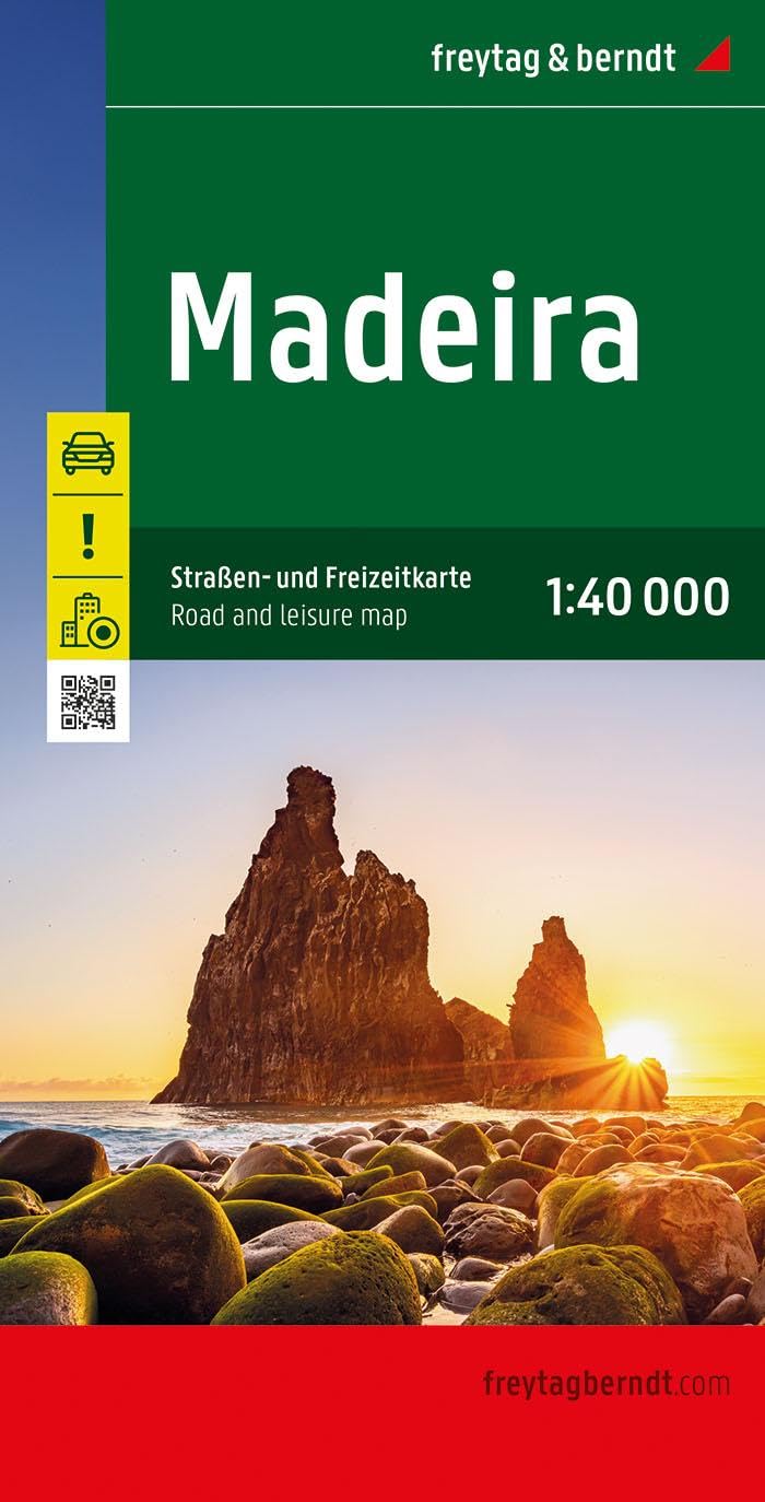
Wandelkaart - Wegenkaart - landkaart Madeira | Freytag & Berndt
Duidelijke kaart met hoofdwegen en kleine wegen. Afstanden zijn gemarkeerd, Schaduwwerking en en bergtekening tonen de hoogte. De Levada's - de kanalen waarlangs uitstekend gewandeld kan worden - staan goed ingetekend. Verder met veel toeristische symbolen voor bezienswaardigheden, campings, nationaal park grenzen, etc. Ingevoegd een simpele kaart van het centrum van Funchal en een inzet van Porto Santo op schaal 1:50.000.
This detailed road map of Madeira is very suitable for planning and traveling around the country.
The road network is well represented, both the main roads, provincial and local roads. Road numbers are also clearly stated. Distances between places are marked on the map in kilometers, and gas stations are also marked in important places. Shadow shows the relief and sometimes some points with the actual height. Province borders, national parks and reserves are easy to find. Symbols indicate the location of tourist sites, monuments, historically important places and viewpoints. In certain places you can find hotels and campsites, airports, train connections and ports.
Neben der übersichtlichen Gestaltung bietet die "Straßen- und Freizeitkarte Madeira 1:40.000" zahlreiche Zusatzinformationen wie z.B. Sehenswürdigkeiten, Campingplätze und einen Innenstadtplan.Mit dem umfangreichen Ortsregister gelingt eine rasche Orientierung. - Infoguide- Besondere Ausflugsziele - Cityplan Funchal- Ortsregister mit PLZ- GPS KoordinatenDer beiliegende, mehrsprachige Infoguide bietet Informationen zu besonderen und sehenswerten Ausflugszielen der Inseln. Sprachen: Portugiesisch, Deutsch, Englisch, Französisch, Italienisch, Spanisch, Niederländisch, Tschechisch, Slowakisch, Ungarisch.
€ 14,95
Verzendkosten: Zie website leverancierNu bestellen bij De Zwerver

