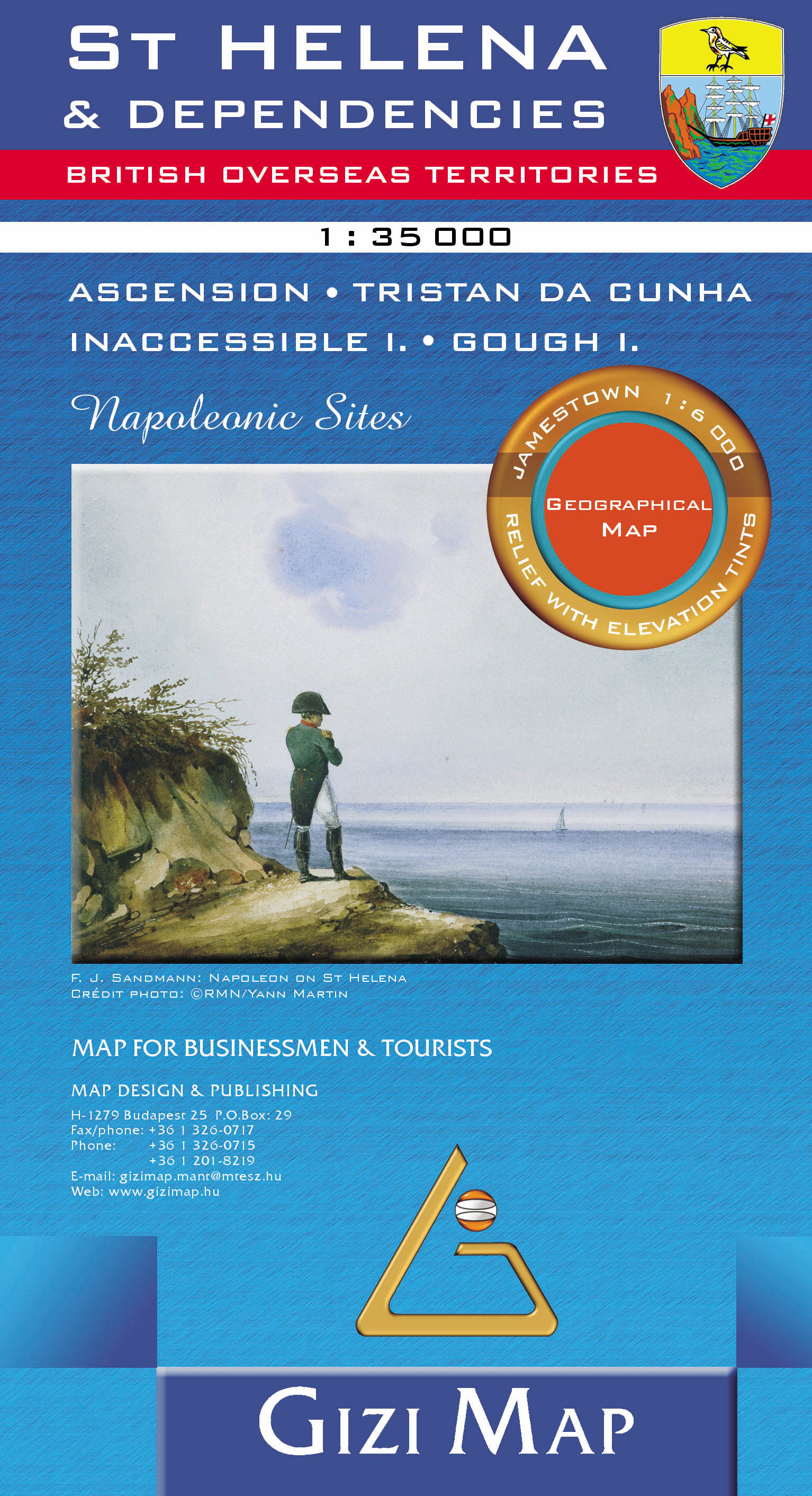
Wandelkaart - Wegenkaart - landkaart St Helena & Dependencies | Gizi M
Met name door het kleurgebruik een mooie kaart: heel duidelijk wordt het landschap weergegeven. Daarnaast veel topografische details.
St. Helena at 1:35,000 from Gizi Map, with the other islands of the British Overseas Territories in the Atlantic: Tristan da Cunha, plus Ascension, Inaccessible and Gough Islands at 1:75,000, with superb cartography and places of interest.
The map excellently presents the topography of all the islands, with bright colouring and vivid relief shading, accompanied by spot heights and names of many peaks, valleys and other geographic features. Small settlements and many individual buildings are shown, roads and local tracks are marked. On St. Helena hiking trails are also highlighted and local administrative boundaries are marked.
The map indicates locations with tourist accommodation and prominently shows various places of interest. Special highlighting marks sites associated with Napoleon’s exile on St Helena and the map also shows the boundary of the territory assigned to the deposed emperor. Also provided is a street plan of Jamestown.
The remaining islands: Tristan da Cunha, Ascension Island, Gough Island and Inaccessible Island are all presented as separate insets at 1:75,000, with similar cartography and additional information. All the maps have latitude and longitude lines: St Helena at 1’ intervals, the other islands at 2’. There is no index. Map legend includes English and French.
€ 15,95
Verzendkosten: Zie website leverancierNu bestellen bij De zwerver

