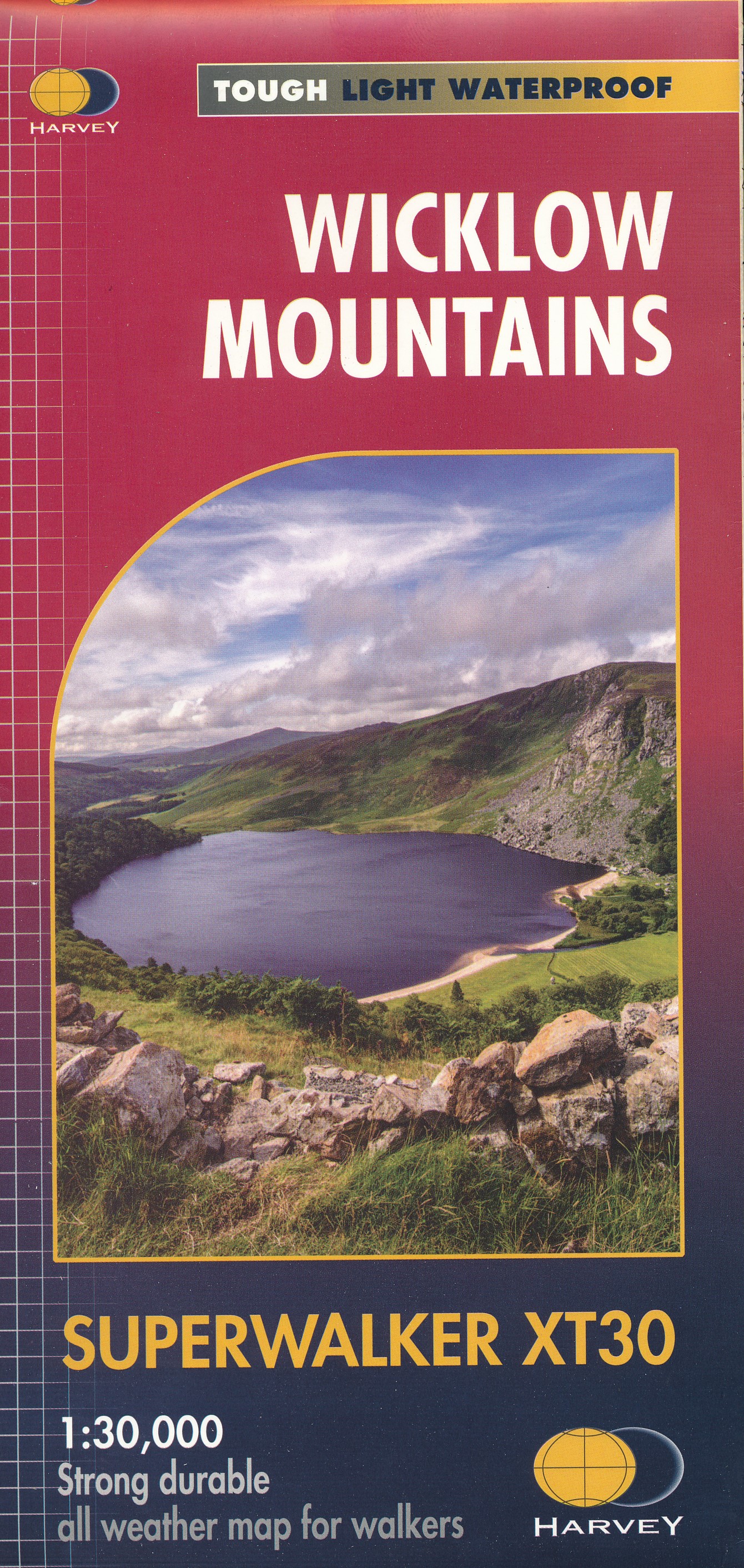
Wandelkaart Wicklow Mountains | Harvey Maps
Zeer duidelijke kaart van de Wicklow Mountains in Ierland.
Met o.a. hoogtelijnen en geschikt voor gebruik met GPS.
HARVEY Superwalker map at 1:30,000 scale.
Clear, easy to use, waterproof. GPS compatible
This map is bio-degradable
Includes the spectacular Glendalough area and sections of St Kevin's Way, and the Wicklow Way which crosses these mountains. The National Park boundary is shown.
Supplied in clear plastic pocket.
€ 24,95
Verzendkosten: € 2,95Nu bestellen bij De Zwerver
Specificaties
Merk:
n.b.
EAN:
Je bestelt bij:
De Zwerver
Categorie:
Subcategorie:
Maat:
n.v.t.
Materiaal:
n.v.t.
Levertijd:
Aantal beschikbaar:
n.b.
Verkoopprijs
€ 24,95
Prijzen vanaf:
n.v.t.
Verzendkosten:
€ 2,95
ISBN:
9781851376131
Editie:
meest recente editie
Uitgever:
Harvey Maps
Beschrijft het volgende gebied:
Europa - Ierland - Wicklow - Oost Ierland
Taal:
Engels
Direct bestellen:

