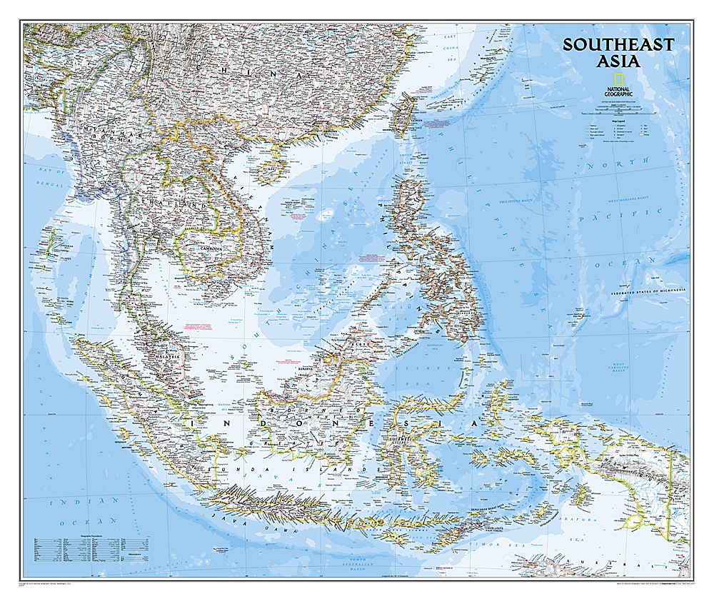
Wandkaart 20620 Zuidoost Azië, politiek, 96 x 81 cm | National Geographic
The Southeast Asia Political Map is a detailed reference map containing National Geographic’s clear visual presentation in a bright and appealing color palette. The map contains thousand of place names, accurate political boundaries, and infrastructure, making it the perfect reference for student, home, or business.
This detailed wall map of Southeast Asia by National Geographic includes Indonesia, New Guinea, the Phillipines, Malaysia, Thailand, Myanmar, Cambodia and Vietnam. Coverage includes the whole of Indonesia and the Philippines, and extends north to cover China as far as Hangzhou and, in the north-western corner, Bhutan.
Details featured on this Southeast Asia Wall Map include:
• Political Boundaries
• Major Cities and Capitals
• Physical Terrain Shading
• Mountain Ranges, Highest Point
• Lakes, Rivers and Waterways
• Latitude and Longitude Lines
• Basic Bathymetry (Ocean Depths)
• Major Airports
• National Parks
€ 26,95
Verzendkosten: € 5,95Nu bestellen bij De Zwerver

