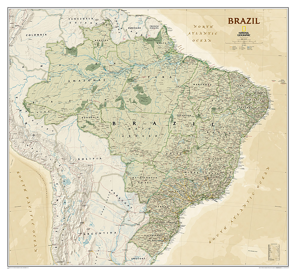
Wandkaart Brazil - Brazillië Antiek, 104 x 97 cm | National Geographic
Presented in National Geographic’s classic wall map style, our large, earth-tone Brazil wall map is ideal for home or office. Inherent to all National Geographic reference cartography, this map contains thousands of place-names and accurate political boundaries including Brazil’s 26 states. Major and minor cities, superhighways, roads, passenger rail lines, and national parks are clearly depicted. Brazil’s diverse terrain is represented through accurate shaded relief and hydrographic symbology, elevations and depths are in meters.
€ 45,95
Verzendkosten: € 5,95Nu bestellen bij De Zwerver
Specificaties
Merk:
n.b.
EAN:
Je bestelt bij:
De Zwerver
Categorie:
Subcategorie:
Maat:
n.v.t.
Materiaal:
n.v.t.
Levertijd:
Aantal beschikbaar:
n.b.
Verkoopprijs
€ 45,95
Prijzen vanaf:
n.v.t.
Verzendkosten:
€ 5,95
ISBN:
9781597754354
Editie:
None
Uitgever:
National Geographic
Beschrijft het volgende gebied:
Zuid-Amerika - Brazilië -
Taal:
Engels
Direct bestellen:

