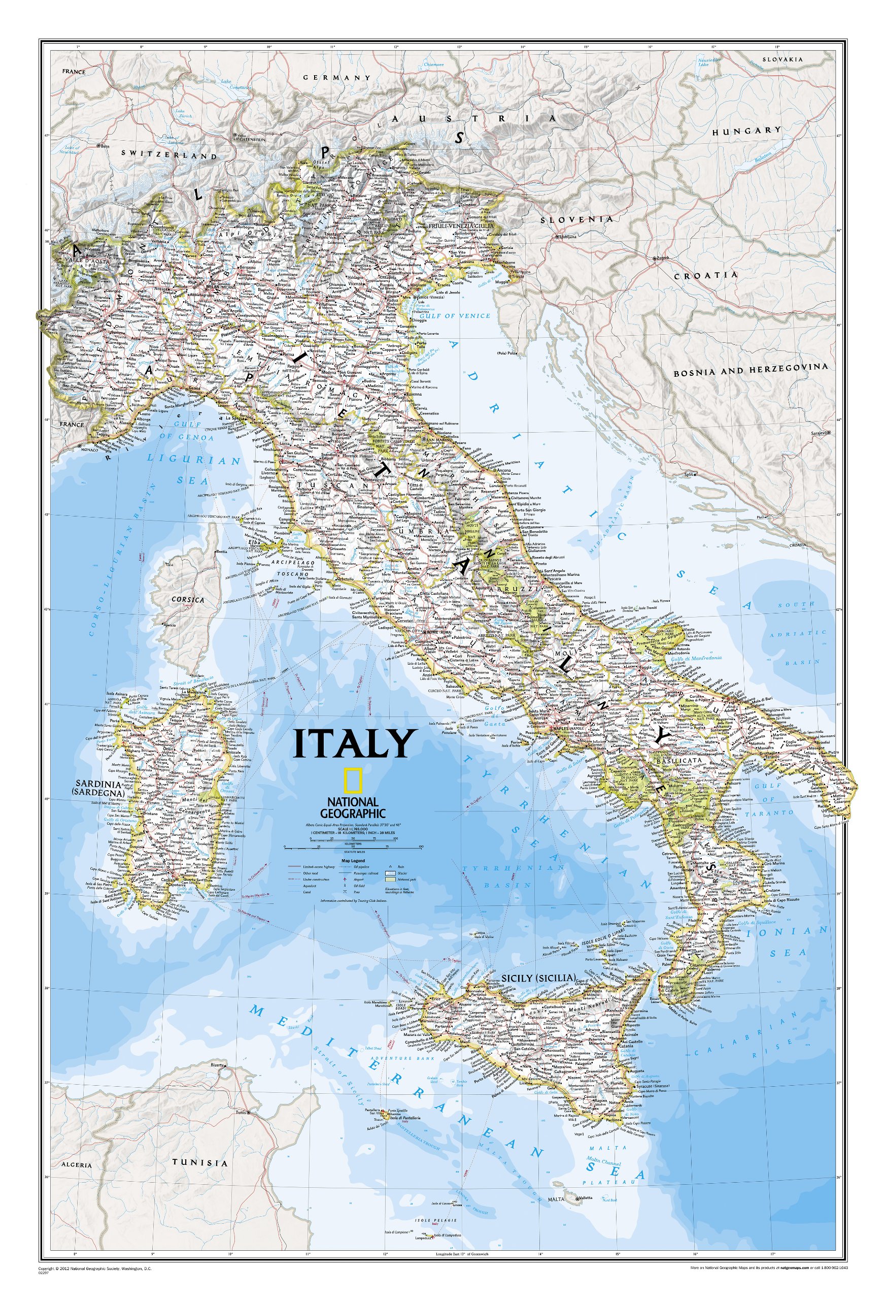
Wandkaart Italy - Italië, 59 x 87 cm | National Geographic
Decoratieve wandkaart van Italië. Naast de mooie kleuren staan er bijzonder veel plaatsen op vermeld.
This Italy Wall Map by National Geographic contains extensive political information with political boundaries clearly presented with different color-bands for each country. Beautifully shaded to show physical terrain, this map is both a useful reference tool and a quality piece of art, perfect for any home, office or classroom. • Political Boundaries • Major Cities and Capitals • Physical Terrain Shading • Mountain Ranges, Highest Point • Lakes, Seas, Rivers and Waterways • Sand, Swamp, Salt Desert, Dry Salt Lake or Coral Reef • Latitude and Longitude Lines • Basic Bathymetry (Ocean Depths) • Major Airports • National Parks • Major Roads and Highways • Oil Fields, Railroads, and Ruins
€ 31,95
Verzendkosten: € 5,95Nu bestellen bij De Zwerver

