Wandkaart - Prikbord Antarctica - Zuidpool 120 x 100 cm | Maps International
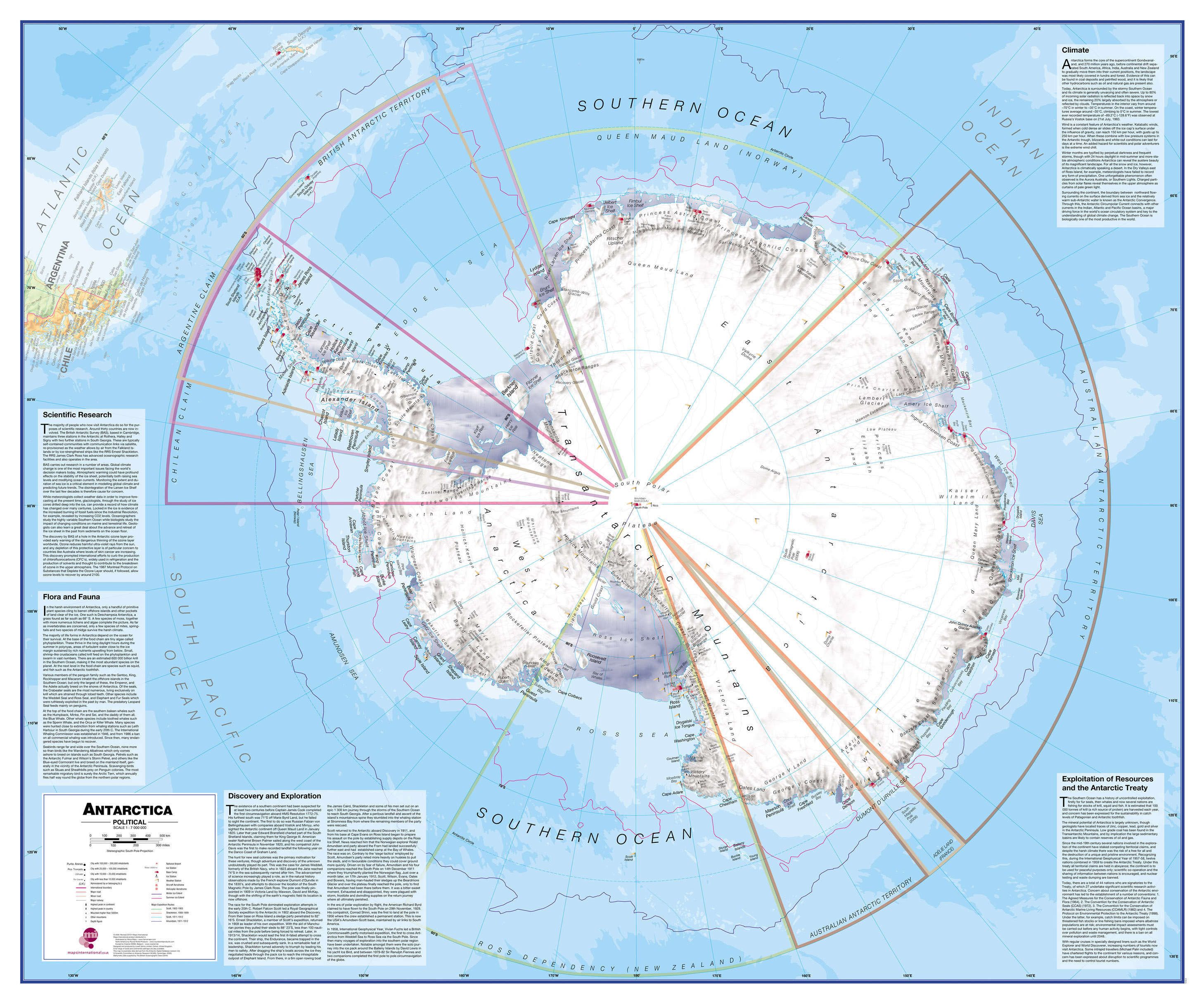
Fraaie kaart van het continent waarbij zowel de natuurkundige als de politieke aspecten zichtbaar zijn. Alle bezettingsstations, berggebieden en landingsplaatsen staan er op.
De wandkaarten op prikbord worden geleverd met een aluminium lijst en een eenvoudig te monteren ophangsysteem. Zij zijn geschikt voor allerhande markeringsystemen als vlaggetjes en prikkers.
Maps International's collection of continental maps would not be complete without this political Antarctica map.
The Antarctica map includes information from the British Antarctic Survey on scientific research. Information on Antarctica's climate and resources is included and as you would expect with a political map, the territory divisions are shown. Shown also are the major expedition routes, camps and weather stations on Antarctica. Map features hill shading, also contains information on the flora and fauna of Antarctica.
The map provides a great opportunity to learn more about a continent that many of us will never visit. Maps International's Antarctica map is available either plain or laminated making it ideal for classrooms or those with an interest in the South Pole and surrounding areas.
€ 185,00
Verzendkosten: € 5,95Nu bestellen bij De Zwerver

