
Wegenatlas Glovebox Atlas Scotland - Schotland | AA Publishing
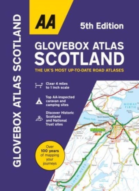
This handy road atlas fits the glovebox of your car, perfect for quick referencing on the move. Including information on route planning, car ferry routes and operators, restricted motorway junctions, county map, and a mileage chart, this is the perfect glovebox companion for traveling through Scotland. New features on the mapping include award winning beaches, soccer stadiums, lighthouses, and waterfalls.
The 4th edition of this AA glovebox atlas for Scotland has been fully revised and updated for November 2017. This handy, flexibound A5 road atlas is designed specifically for the motorist in Scotland. There is a distance and journey time chart between 40 destinations. The atlas legend is in English, French, Spanish, Italian, German and Dutch.
1:250 000 (1 inch=4 miles, 1cm=2.5km)
Symbols indicating: places of interest, motorways, dual carriageways, toll areas, prohibited roads, rail lines, road numbers and boundaries
Multilingual key to the symbols
Distance matrix which shows distances and driving times between major cities
Alphabetical index by town name including page numbers and grid references
Overview map of Scotland with page reference numbers so you can find the region you want to travel to quickly and easily
€ 9,95
Verzendkosten: Zie website leverancierSpecificaties
Merk:
n.b.
EAN:
Je bestelt bij:
De Zwerver
Categorie:
Subcategorie:
Maat:
n.v.t.
Materiaal:
n.v.t.
Levertijd:
Aantal beschikbaar:
n.b.
Verkoopprijs
€ 9,95
Prijzen vanaf:
n.v.t.
Verzendkosten:
Zie website leverancier
ISBN:
Editie:
Uitgever:
Beschrijft het volgende gebied:
Europa - Schotland -
Taal:
Direct bestellen: