
Wegenatlas IJsland | Ferdakort
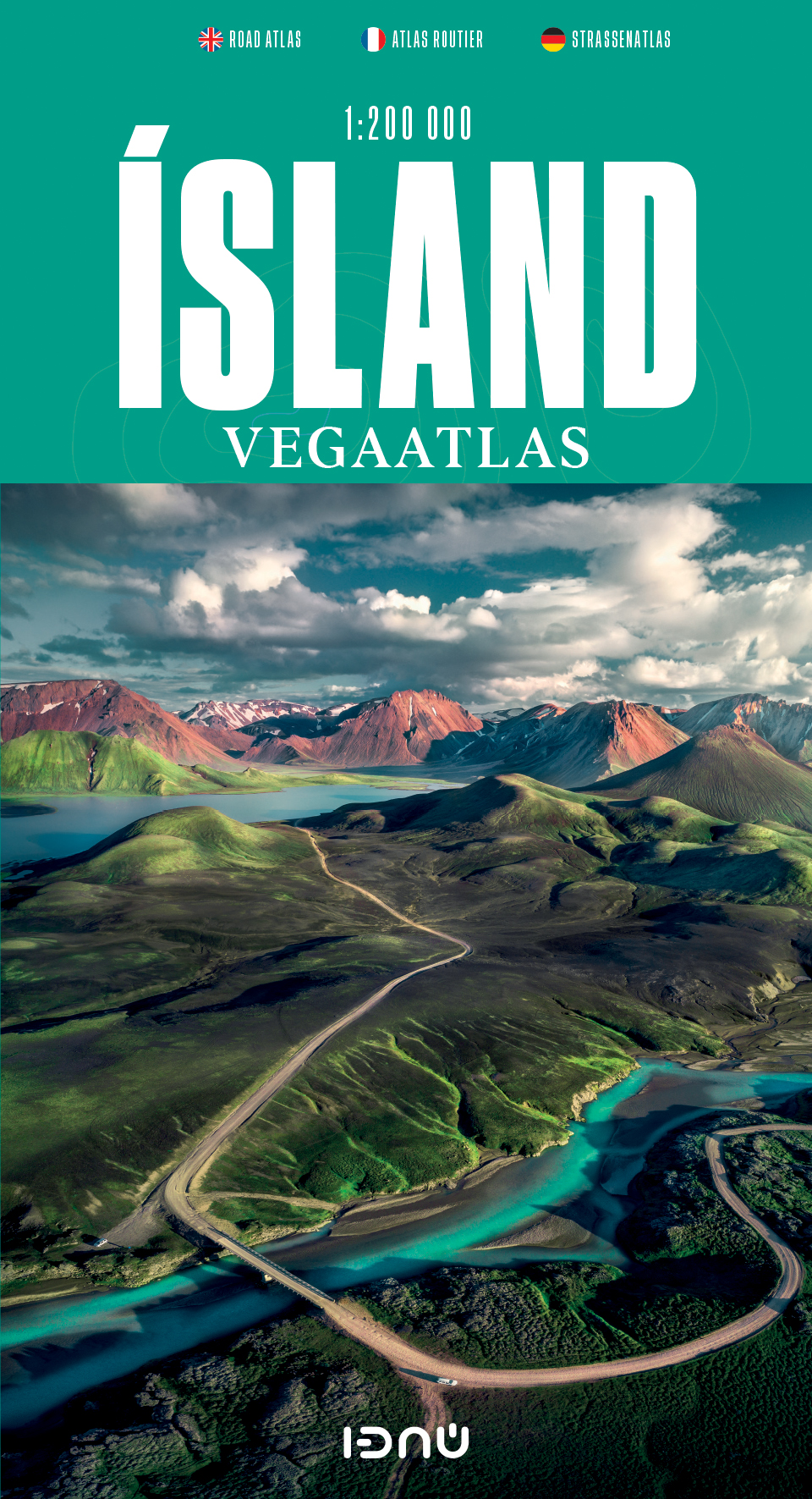
Gedetailleerde wegenatlas van IJsland, met duidelijke en gedetailleerde wegenkaarten van de topografische dienst op een schaal van 1:200.000.
This road atlas is based on a map database on a scale of 1:250 000. In addition to 50 pages of road maps, the Road Atlas contains several theme maps covering accommodation, camping sites, museums, swimming pools and golf courses. There is also a comprehensive place-name index with over 15,500 entries. The format of the atlas makes it very easy for use in a car: it unfolds to a width of about 60 cm that gives an excellent overview of a large tract of land. The Road Atlas comes in a handy box.
Scale: 1:200 000
Published: 2021
Size: 31 x 16 cm / Weight: 448 g / Pages: 86
Languages: Icelandic, English, German and French
€ 42,50
Verzendkosten: Zie website leverancierSpecificaties
Merk:
n.b.
EAN:
Je bestelt bij:
De Zwerver
Categorie:
Subcategorie:
Maat:
n.v.t.
Materiaal:
n.v.t.
Levertijd:
Aantal beschikbaar:
n.b.
Verkoopprijs
€ 42,50
Prijzen vanaf:
n.v.t.
Verzendkosten:
Zie website leverancier
ISBN:
Editie:
Uitgever:
Beschrijft het volgende gebied:
Europa - IJsland -
Taal:
Direct bestellen: