
Wegenatlas Letland zuid Zemgale - Vidusdaugava | Jana Seta
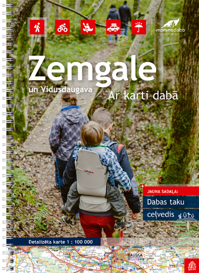
Bijzonder gedetailleerde wegenatlas van een deel van Letland. Uitvoering in ringband en op geplastificeerd papier. Inclusief stadplattegronden van Aizkraukle, Auce, Bauska, Dobele. Iecava, Jekabplis, Jeglava, Lielvarde, Plavinas en Tukums.
Jana Seta’s adventure atlases in this series have topography shown by contour lines at 10m intervals, with colouring and/or graphics for orchards, forests, swamps, etc; boundaries of national parks and other protected area are clearly marked. The mapping provides a very detail presentation of the road network, from main roads to “difficult to travel” unsurfaced local roads. Locations of petrol stations are marked and driving distances are shown on many local routes. The atlases also show cycling routes. Railway lines are shown with stations. Interesting locations are highlighted and symbols indicate campsites and other tourist accommodation, museums, etc. In each title a selection of best sights is cross-referenced to their descriptions (in Latvian only). Latitude and longitude lines are drawn at 5’ and 10’ respectively. The atlases have no indexes. Map legend includes English.
Street plans at 1:20,000, most one or two pages in size, indicate various facilities including hotels, restaurants, petrol stations, etc. Streets are annotated with selected house numbers.
€ 37,50
Verzendkosten: € 2,95Specificaties
Merk:
n.b.
EAN:
Je bestelt bij:
De Zwerver
Categorie:
Subcategorie:
Maat:
n.v.t.
Materiaal:
n.v.t.
Levertijd:
Aantal beschikbaar:
n.b.
Verkoopprijs
€ 37,50
Prijzen vanaf:
n.v.t.
Verzendkosten:
€ 2,95
ISBN:
9789984077031
Editie:
01-12-2016
Uitgever:
Jana Seta
Beschrijft het volgende gebied:
Europa - Letland -
Taal:
Engels - Duits
Direct bestellen: