
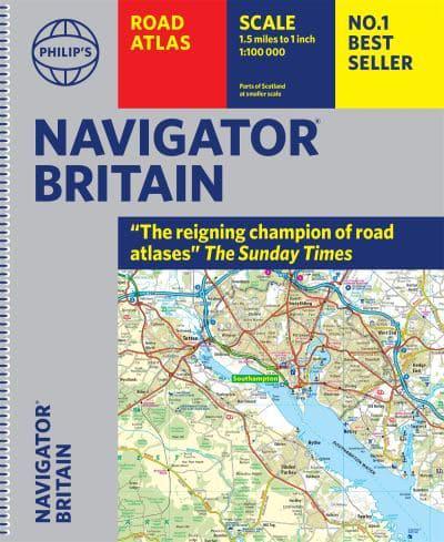
Wegenatlas Navigator Britain - Engeland en Schotland 1:100.000 | Philip's Maps
Bijzonder gedetaileerde wegenatlas van Engeland en Schotland op schaal 1:100.000 (met het noorden van Schotland 1:200.000). Alle wegen, bezienswaardigheden, National Trails, campings ... noem maar op en je vindt het in deze atlas. Voorzien van een stevige ringband, iets groter dan A4.
Philip's Navigator are Britain's bestselling detailed road atlases - exceptional for their scale and clarity.
'A map that beats all others' The Daily Telegraph
'Scale, accuracy and clarity are without parallel' Driving Magazine
'No.1 in the UK for clear maps' Independent research survey
- Scale: 1.5 miles to 1 inch = 1:100,000 (Northern Scotland: 3 miles to 1 inch = 1:200,000)
- Super-detailed 6-page route-planning section.
- Every street in Britain is marked on the maps.
- Over 3000 roads clearly named.
- 100 indexed town-centre maps plus approaches maps to 12 major urban areas.
- Exceptional road detail, from motorways to country lanes, with every junction, roundabout and slip-road shown.
- Thousands of individually named farms, houses and hamlets.
- The No.1 Choice of Road Atlas for the serious motorist.
Available in an easy-to-manage spiral paperback binding, Philip's Navigator Britain is widely used by professional drivers and the emergency services, including national police training, and is recommended in the motoring press and national newspapers. No other road atlas of Britain offers this level of detail and clarity.
€ 37,95
Verzendkosten: € 5,95Specificaties
Merk:
n.b.
EAN:
Je bestelt bij:
De Zwerver
Categorie:
Subcategorie:
Maat:
n.v.t.
Materiaal:
n.v.t.
Levertijd:
Aantal beschikbaar:
n.b.
Verkoopprijs
€ 37,95
Prijzen vanaf:
n.v.t.
Verzendkosten:
€ 5,95
ISBN:
9781849076135
Editie:
2022
Uitgever:
Philip's Maps
Beschrijft het volgende gebied:
Europa - Engeland -
Taal:
Direct bestellen: