
Wegenatlas Official Roadatlas of Ireland - Ierland | Ordnance Survey Ireland
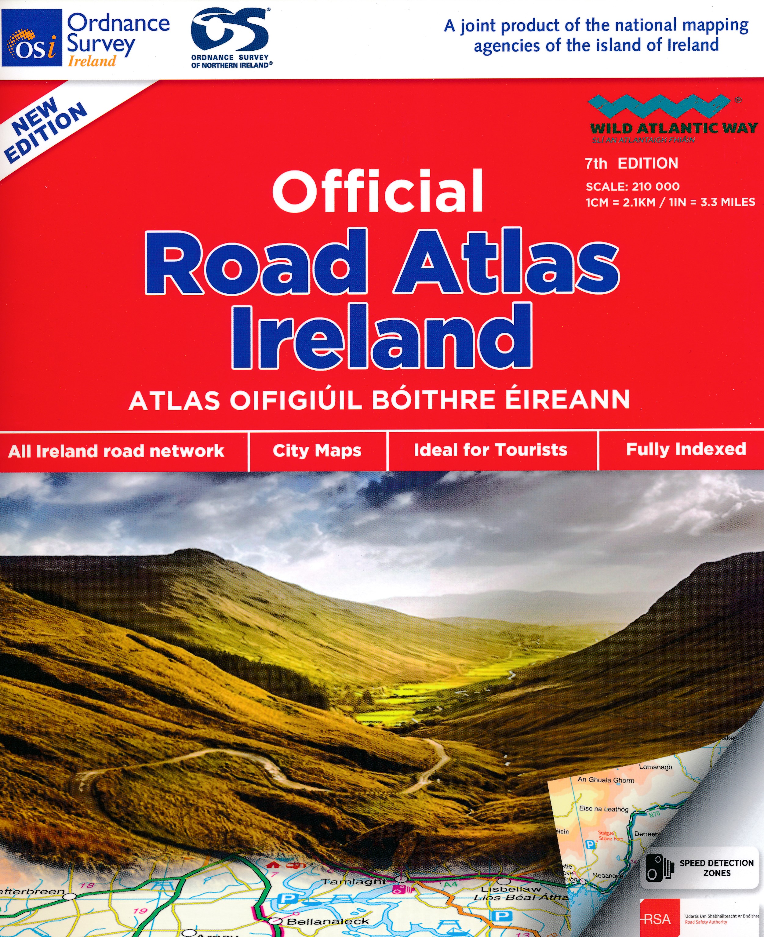
Mooie atlas met bijzonder kleurgebruik. Hoogte wordt hierdoor zeer duidelijk weergegeven. Met alle noodzakelijke en toeristische informatie, afstandentabel, stadsplattegronden en register . In ringband uitgevoerd tussen A4 en A5 qua formaat.
This road atlas contains detailed road maps of the whole of Ireland. In addition it also contains City and Town Maps, Touring and Motoring information, a distance chart, full gazetteer and the location of every Golf Union of Ireland golf course.
€ 24,95
Verzendkosten: € 2,95Specificaties
Merk:
n.b.
EAN:
Je bestelt bij:
De Zwerver
Categorie:
Subcategorie:
Maat:
n.v.t.
Materiaal:
n.v.t.
Levertijd:
Aantal beschikbaar:
n.b.
Verkoopprijs
€ 24,95
Prijzen vanaf:
n.v.t.
Verzendkosten:
€ 2,95
ISBN:
9781912140473
Editie:
2020
Uitgever:
Ordnance Survey Ireland
Beschrijft het volgende gebied:
Europa - Ierland -
Taal:
Engels
Direct bestellen: