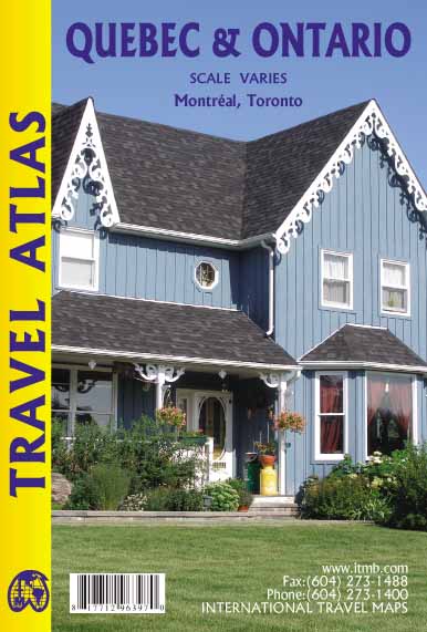
Wegenatlas Quebec & Ontario | ITMB
Wegenatlas van Quebec en Ontario. Natuurkundig kaartbeeld. Met inzetjes van stadsregio's en centrumkaarten van Montreal en Toronto. Uitgebreide index.
We are blessed in North America with a state of peace unattainable in most other parts of the world. We take for granted freedom to travel over vast distances on good roads, have rail services carrying millions of passengers each year, and have reasonably minimal border formalities to undergo at borders. Quebec is one of the great travel destinations for North Americans; so is Ontario. In fact, it is almost inconceivable that one would visit one without seeing the other. Geographically, each province occupies a huge amount of space far larger than any American state, so combining these areas on a folded paper sheet makes no sense. We have combined the two provinces into one travel atlas which, in Canadian terms, would be called central Canada, a term peculiar to Canadians and unmarketable. We present in a compact atlas format the ideal way for visitors to explore two very different but at the same time two very similar societies that have been closely linked for more than 400 years. It includes Niagara Falls, Toronto, the Thousand Islands, Cottage Country, Ottawa, Montreal and the Laurentians, Quebec City and the North Shore, the Eastern Townships and the unsurpassable Gaspe Peninsula. All in one volume!
€ 16,50
Verzendkosten: € 2,95Nu bestellen bij De Zwerver

