Wegenatlas Road Atlas Ireland - Ierland | AA Publishing
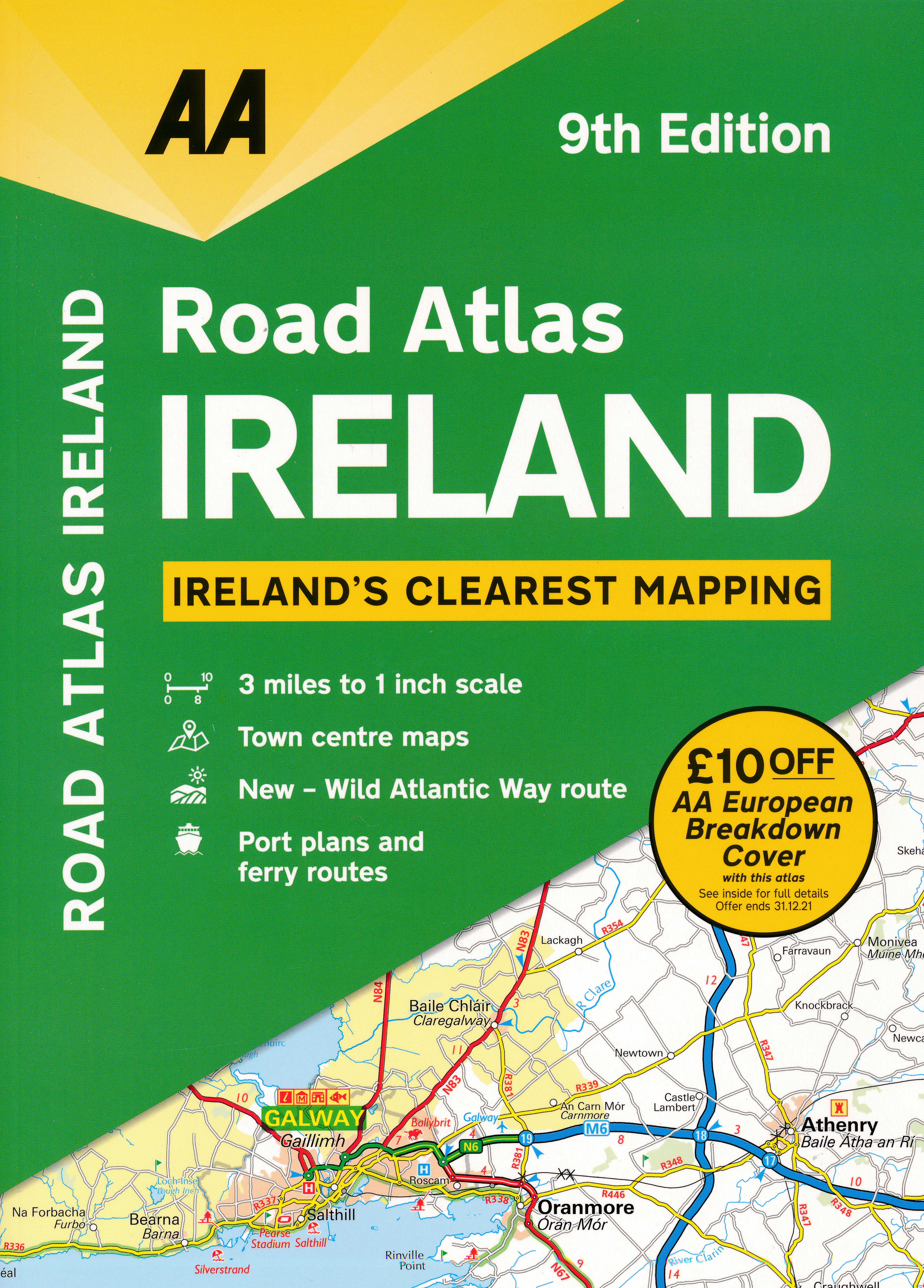
Handige wegenatlas van Ierland en Noord-Ierland, schaal 1:200.000. Met 10 stadsplattegronden: Belfast, Cork, Londonderry, Dublin, Galway, Killarney, Kilkenny, Limerick, Sligo and Waterford.
Created from brand new mapping data, this atlas includes AA inspected camping sites and AA listed golf courses, picnic sites, port plans and ferry routes. Plus, motorway strip maps detailing all of Ireland's motorway junctions. Toll motorways are clearly highlighted.There are 10 detailed city and town plans with street indexes: Belfast, Cork, Londonderry, Dublin, Galway, Killarney, Kilkenny, Limerick, Sligo and Waterford and an easy-to-read place name index, with top tourist sites highlighted.New district maps of Dublin and Belfast show the surrounding area in more detail.
€ 11,95
Verzendkosten: Zie website leverancierNu bestellen bij De Zwerver

