
Wegenatlas - Stadsplattegrond London Street Atlas - Londen | A-Z Map Company
Handzame, maar behoorlijk dikke stadsatlas van Londen. Gebonden uitgave, maar toch redelijk makkelijk open ter klappen. Met register achterin. Zeer uitgebried met alle staten en steegjes. Centrumgedeelte met meer details (1:11.000) dan de kaarten buiten het centrum (1:22.000)
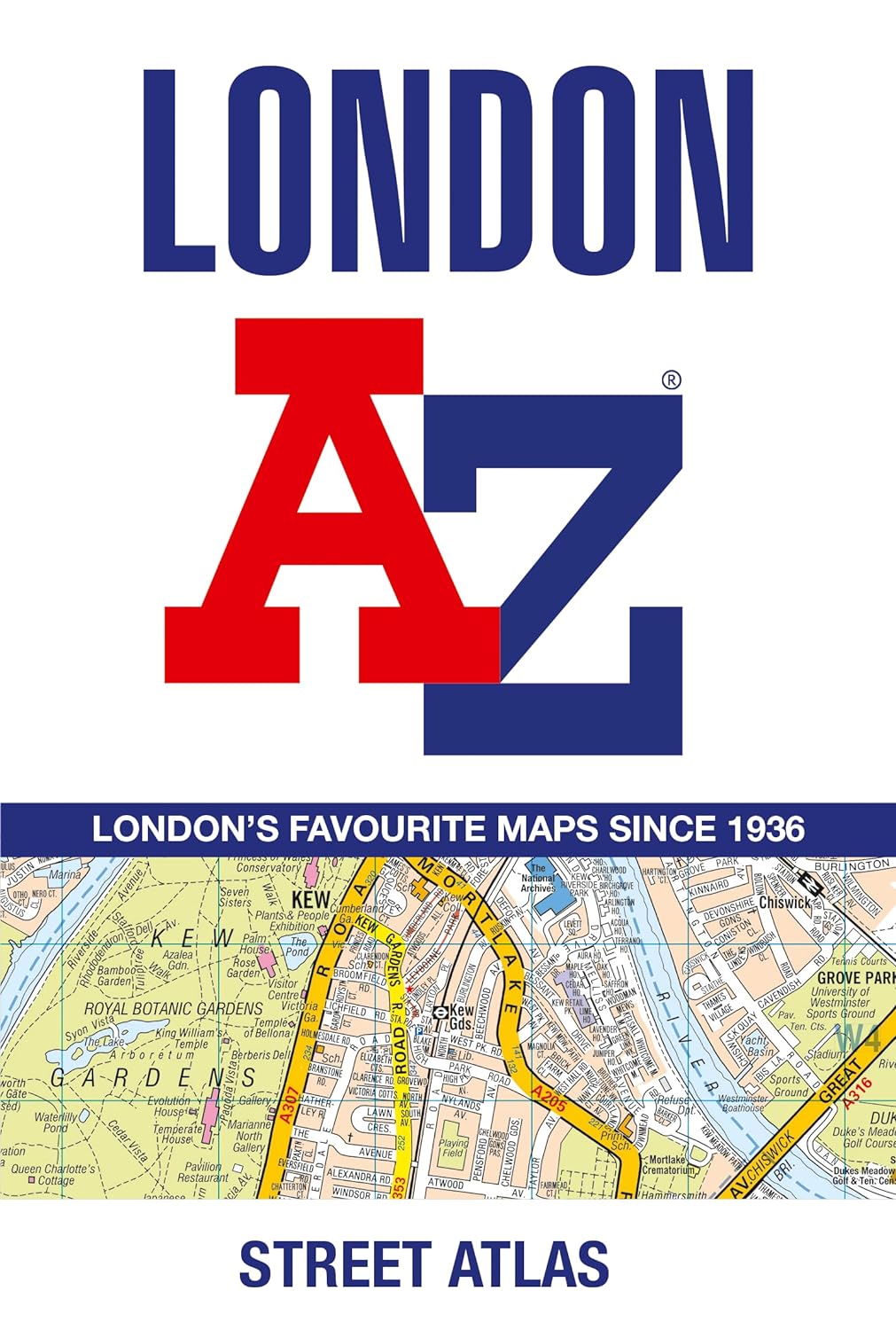
First published in 1936, this iconic atlas is a trusted means of finding your way around the capital city.
The main mapping extends beyond Central London from Heathrow Airport to Chingford at a scale of 2.88 inches to 1 mile (4.55 cm to 1 km), featuring postcode districts, one-way streets, the Congestion Charging Zone and Low Emission Zone.
The large-scale street map of Central London – at a scale of 5.75 inches to 1 mile – cover Regent’s Park and Shoreditch, Chelsea and Vauxhall, Hyde Park and Bermondsey.
A comprehensive index lists streets, selected flats, walkways and places of interest, place, area and junction names. Additional healthcare (hospitals, walk-in centres and hospices) and transport connections (National Rail, London Tramlink, Docklands Light Railway, London Underground and Overground stations, and River Bus pier) are indexed as well.
Also included are:
• Overview map of the Congestion Charging Zone, Ultra Low Emission and Low Emission Zones
• West End Theatre map
• London Connections rail services map
€ 13,50
Verzendkosten: € 2,95Specificaties
Merk:
n.b.
EAN:
Je bestelt bij:
De Zwerver
Categorie:
Subcategorie:
Maat:
n.v.t.
Materiaal:
n.v.t.
Levertijd:
Aantal beschikbaar:
n.b.
Verkoopprijs
€ 13,50
Prijzen vanaf:
n.v.t.
Verzendkosten:
€ 2,95
ISBN:
9780008663490
Editie:
2024
Uitgever:
A-Z Map Company
Beschrijft het volgende gebied:
Europa - Engeland -
Taal:
Direct bestellen: