
Wegenatlas Travel Atlas Indian Subcontinent | ITMB
Handzame wegenatlas op A5 formaat, helaas geen spiraalbinding. Maar voor deze regio is er op dit moment geen andere atlas beschikbaar.
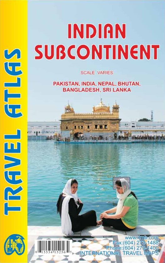
This is our biggest atlas ever, with 152 pages of maps and 51 pages of place names indexing. The Indian Sub-Continent consists of Pakistan, India, Nepal, Bhutan, Bangladesh, Sri Lanka and Kashmir. Each country (Kashmir being considered shared) is presented as an entity, so Pakistan occupies 30 pages at 1:1,200,000 scale, and Nepal occupies 32 pages at 1:530,000 scale. In short, each country is shown in detail, but at scales appropriate for each country. The amount of detail on each page is impressive; equal to buying six maps at $12.95 each. The market is the traveller to the region, visiting several of these areas and wanting a compact way to have detailed mapping without having to carry half a dozen maps or spend a large amount of money on maps. Eleven city inset maps are included, as well as basic insets for the Andaman and Nicobar island chains. This completes our network of atlases that started with Japan and China, and now includes South East Asia and the Middle East in a series of detailed travel atlases covering almost all of Asia.
Legend Includes:
Road by classification, Motorways, Main Roads, Ferry Routes, Railways, Lakes, Deserts, Swamps, Hospitals, Walterfalls, Motels, Hotels, Beaches and much more...
€ 16,50
Verzendkosten: € 2,95Specificaties
Merk:
n.b.
EAN:
Je bestelt bij:
De Zwerver
Categorie:
Subcategorie:
Maat:
n.v.t.
Materiaal:
n.v.t.
Levertijd:
Aantal beschikbaar:
n.b.
Verkoopprijs
€ 16,50
Prijzen vanaf:
n.v.t.
Verzendkosten:
€ 2,95
ISBN:
9781553415251
Editie:
19-02-2014
Uitgever:
ITMB
Beschrijft het volgende gebied:
Azië - Bangladesh -
Taal:
Engels
Direct bestellen: