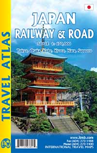
Wegenatlas Travel Atlas Japan - railway and roadatlas | ITMB
Wegenatlas in handig A5 formaat. Prettig leesbaar.
Travel to Japan is growing in leaps and bounds and our basic difficulty with a map is that the country is so concentrated with urban areas that it is difficult to portray the country’s features so that anyone could read them. By using the book format, we have been able to expand the scale to a much more usable size and add double-page sized insets of Tokyo, Kyoto, Nara, Osaka, and Kobe.
Legend Includes:
Railways, roads by classifications, distances between points, shrines and temples, rivers, lakes, hot springs, national parks, beaches, hotels, universities, airports, places of interest and other information
€ 16,50
Verzendkosten: Zie website leverancierNu bestellen bij De Zwerver
Specificaties
Merk:
n.b.
EAN:
Je bestelt bij:
De Zwerver
Categorie:
Subcategorie:
Maat:
n.v.t.
Materiaal:
n.v.t.
Levertijd:
Aantal beschikbaar:
n.b.
Verkoopprijs
€ 16,50
Prijzen vanaf:
n.v.t.
Verzendkosten:
Zie website leverancier
ISBN:
Editie:
Uitgever:
Beschrijft het volgende gebied:
Azië - Japan -
Taal:
Direct bestellen:

