
Wegenkaart - landkaart 01 Banff National Park | Gem Trek Maps
Handige uitvouwbare folder met goede kaart van schaal 1:250.000. Op de achterzijde staat heel veel info over geschiedenis, bezienswaardigheden, natuur en geologie.
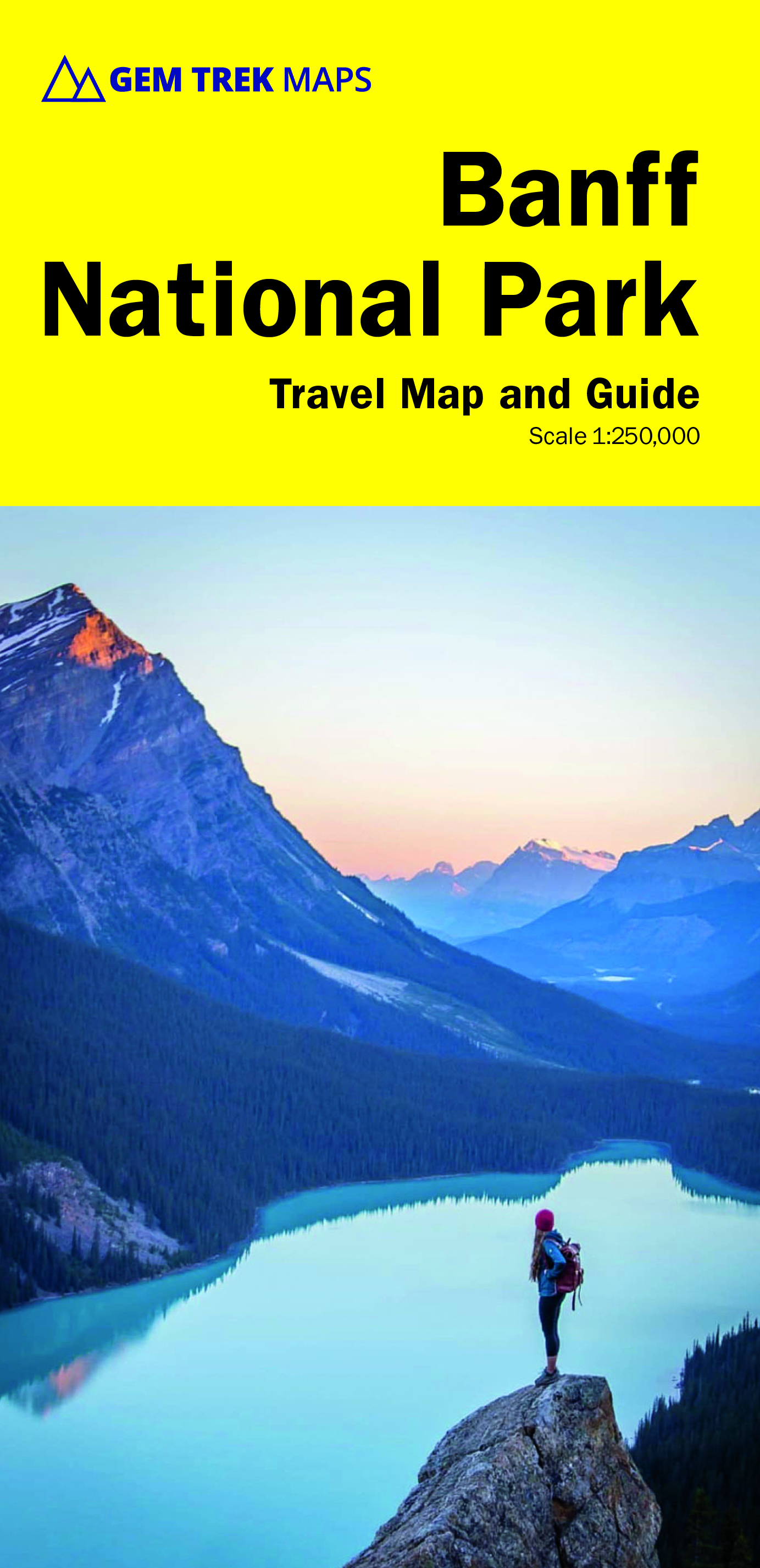
This user-friendly map-guide includes a 1:250,000-scale poster-quality map of Canada's most popular national park, as well as useful and entertaining information about everything from mountain building to Banff Park wildlife.
The map covers Banff National Park as well as Yoho and Kootenay national parks. It shows roads, viewpoints, attractions, lodges and glaciers, and gives the name and elevation of mountains.
Contour lines at 200-metre (650-ft) intervals give map-users a good idea of the lay of the land. The map also shows official park trails, although it is not intended as a hiking map.
On the back of the map are photos and descriptions of the highlights of the park, including sights and attractions in Banff townsite and area, Lake Louise, and along the Icefields Parkway. There are also descriptions of the park's geology, history, wildlife, and eco-regions.
Practical information on outdoor activities and local weather is also included, as well as contact names and numbers,
€ 16,95
Verzendkosten: € 2,95Specificaties
Merk:
n.b.
EAN:
Je bestelt bij:
De Zwerver
Categorie:
Subcategorie:
Maat:
n.v.t.
Materiaal:
n.v.t.
Levertijd:
Aantal beschikbaar:
n.b.
Verkoopprijs
€ 16,95
Prijzen vanaf:
n.v.t.
Verzendkosten:
€ 2,95
ISBN:
9781895526998
Editie:
20-06-2023
Uitgever:
Gem Trek Maps
Beschrijft het volgende gebied:
Noord-Amerika - Canada - Canadian Rockies & Banff
Taal:
Engels
Direct bestellen: