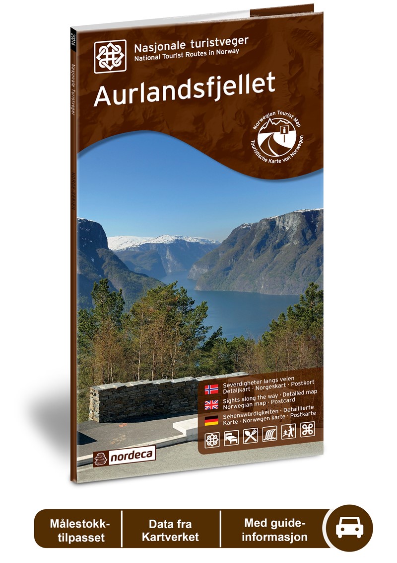
Wegenkaart - landkaart 05 Nasjonale Turistveger Aurlandsfjellet | Nordeca
Speciale map met daarin een wegenkaart van een Nationale Toerist Route in Noorwegen. Naast een gedetailleerde landkaart van schaal 1: 50.000 met hoogtelijnen en toeristische aanduidingen staat op de achterzijde toeristische informatie, alsmede adressen voor eten, drinken en overnachting.
De kaart beschrijft spectaculaire uitzichtpunten, natuurfenomenen, attracties, accommodaties, horeca en bezienswaardigheden langs de Nationale Toeristenweg. De teksten op de kaart zijn drietalig: Noors, Engels en Duits.
En elke map is ook nog eens voorzien van 5 XL-ansichtkaarten van het gebied. Als aandenken of om te versturen.
This drive takes you from one fjord to the next via a high mountain crossing with snow along the road most of the summer. The viewing platform at Stegastein, a natural place to make a stop, provides a dizzying view of the fjord landscape. The Nærøyfjord, a designated World Heritage Site, offers breath-taking scenery. The Flåm railway line and the Aurlandsdalen valley, other outstanding attractions close to the route, are well worth a detour. If you combine a visit to Aurlandsfjellet with a trip through the Lærdal Tunnel, which at 24.5 km is the worlds longest road tunnel, you will be struck by the contrasts this area can offer. National Tourist Route Aurlandsfjellet is a 47 kilometre long drive between Aurlandsvangen and Lærdalsøyri (County Road 243). The mountain crossing is closed in the winter season, but the road from Aurlandsvangen to the Stegastein viewing platform is open year round.
Fakta: - Eksklusiv innpakning - Unikt innhold - Flotte og illustrative bilder - Tre språk(norsk, engelsk og tysk) - Bilder og informasjon rett i kartet - Egne postkort medfølger
€ 29,95
Verzendkosten: € 2,95Nu bestellen bij De Zwerver

