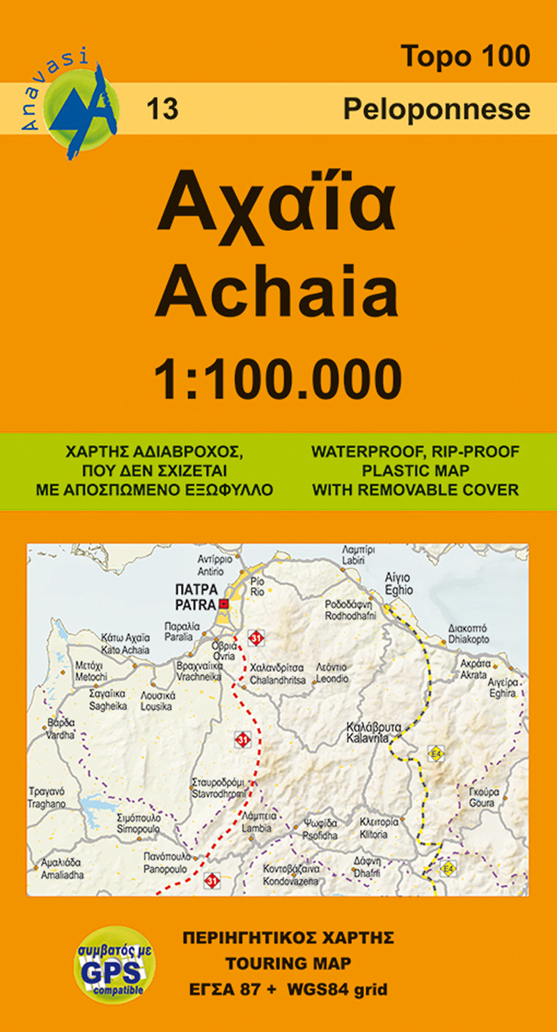
Wegenkaart - landkaart 13 Achaia - deel Peloponnesos | Anavasi
Gebaseerd op topografische kaarten, GPS compatible, gedrukt op watervast en scheurvast papier. Hoogtelijnen met 100 m interval, schaduwkleuren en punten met hoogte geven de topografie van het landschap aan. De kaart kent een UTM grid.
Het wegennet wordt aangeduid met verschillende gradaties: grote en kleine wegen, verhard en onverhard. Toeristische bezienswaardigheden staan als zodanig aangeduid zoals thermen, kloosters, berghutten, grotten etc. Namen van steden zowel in het normale schrift als in het Grieks, met een legenda die ook in het Engels is.
Blessed with all the natural wealth of the Peloponnese, Achaia's fertile plains and welcoming mountains are popular destinations for touring all the year round. On the new edition the trail E4 and 31 (from Patras to Ancient Olympia) are marked. On the inner side of the detachable folder there is a small plan of the capital city of Achaia, Patras with highlights of the most important sites.
€ 9,95
Verzendkosten: € 2,95Nu bestellen bij De Zwerver

