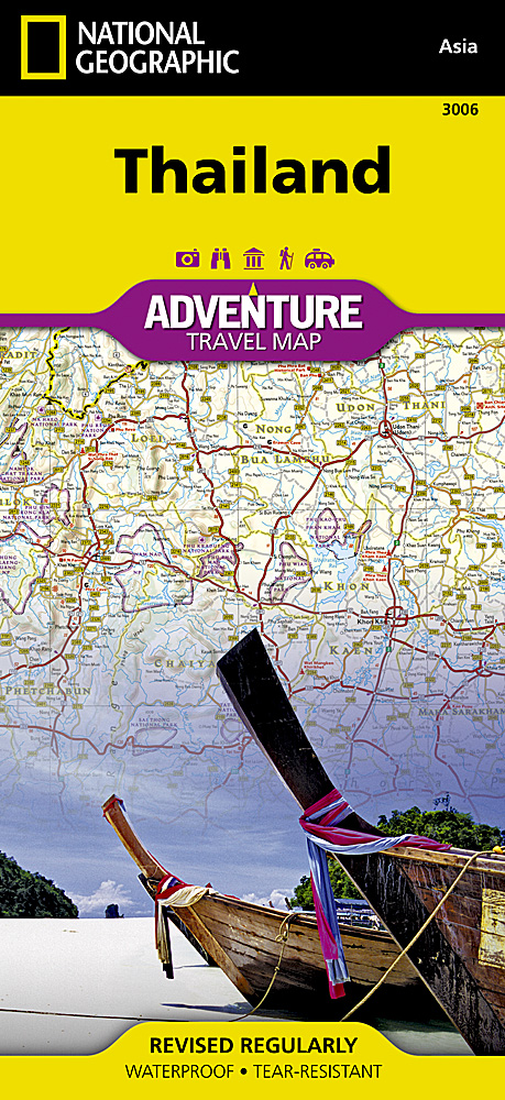
Wegenkaart - landkaart 3006 Adventure Map Thailand | National Geographic
Wegenkaart van Thailand met vermelding van veel bezienswaardigheden, nationale parken en attrakties. Watervast en scheurvast.
National Geographic's Thailand Adventure Map is designed to meet the unique needs of adventure travelers—detailed, durable, and accurate. Thailand includes the locations of thousands of major cities and towns with an index for easily locating them, plus a clearly marked road network complete with distances and designations for major highways, limited access highways, and more.
What sets National Geographic Adventure Maps apart from traditional road maps are the hundreds of points of interest that highlight the diverse, unique, and exotic destinations within Thailand including national parks, nature reserves, World Heritage sites, archeological sites, scenic viewpoints, Buddhist temples of interest, mosques, zoos, and monuments.
The front side of the Thailand map shows the northern half of the country and extends south to the capital city of Bangkok. Border crossings are noted, as are many sites of interest in the neighboring countries of Laos, Myanmar (Burma), and Cambodia. The reverse side features the southern provinces located on the Malay Peninsula, a region popular for rock climbing, diving and snorkeling, or simply lying on the beach enjoying the view of the unique limestone islands that jut out of the Andaman Sea.
€ 17,50
Verzendkosten: € 2,95Nu bestellen bij De Zwerver

