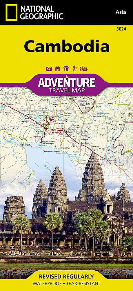
Wegenkaart - landkaart 3024 Adventure Map Cambodia - Cambodja | National Geographic
Mooie, heldere kaart van Cambodja, gedrukt op scheurvast en watervast papier.
National Geographic's Cambodia Adventure Map is designed to meet the needs of adventure travelers with its durability and detailed, accurate information. This map includes the locations of cities and towns with a user-friendly index, a clearly marked road network complete with distances and designations for roads/highways, plus secondary routes for those seeking to explore off the beaten path. Adventure Maps differ from a traditional road map because of the specialty content they include. Each map contains hundreds of diverse and unique recreational, ecological, cultural, and historic destinations — outside of the major tourist hubs. National Geographic Adventure Maps are the perfect companion to a guidebook, yet far easier to pack!
Cambodia is perhaps best know to international travelers as the home of the Angkor empire for six hundred years. Angkor Wat and Angkor Thom are part of the vast temple complex of Siem Reap. These historical monuments draw millions of visitors annually. Cambodia is also know for it nearly empty white sand beaches on the Gulf of Thailand. These tourist destinations are combined with thousands of towns from small hamlets to the capital of Phnom Penh on this detailed map. The east side of the printed map includes the Mekong River and the border area shared with Vietnam and Laos. The west side includes the capitol of Phnom Penh, Angkor Wat, ocean beaches, and Tonle Sap Lake.
Every Adventure Map is printed on durable synthetic paper, making them waterproof, tear-resistant and tough — capable of withstanding the rigors of international travel.
All proceeds from the purchase of a National Geographic map help support the Society's vital exploration, conservation, scientific research, and education programs.
Map Scale = 1:525,000
€ 17,50
Verzendkosten: € 2,95Nu bestellen bij De Zwerver

