
Wegenkaart - landkaart 3315 Adventure Map Corsica | National Geographic
Wegenkaart van Corsica met vermelding van veel bezienswaardigheden, nationale parken en attrakties. Watervast en scheurvast. Juist door deze vermeldingen onderscheidt de kaart zich van andere wegenkaarten.
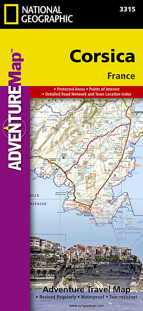
National Geographic's Corsica Adventure Map is designed to meet the unique needs of adventure travelers with its durability and accurate information. Each folded map provides global travelers with the perfect combination of detail and perspective, highlighting the area’s terrain and best locations for adventure activities like snorkeling, surfing, fishing, and more. Adventure Maps include hundreds of points of interest that highlight diverse and unique destinations within the country.
The map includes the locations of thousands of cities and towns with a user-friendly index, plus a clearly marked road network complete with distances and designations for major highways, main roads, and tracks and trails for those seeking to explore more remote regions. The front side of the Corsica map details the northern region of this island country; bordering Golfe de Sagone and Golfe de Porto to the west, Tyrrhenian Sea to the east, and the Ligurian Sea and Golfe de St.-Florent to the north. The reverse side of the map details the southern region; from its border with the Bouches de Bonifacio to the south, to the Tyrrhenian Sea, Golfe de Santa-Manza and Golfe de Porto-Vecchio to the east, and the Mediterranean Sea, Golfe de Sagone, Golfe de Valinco and Golfe d’ Ajaccio to the west. This island is located west of Italy, southeast of the French mainland and north of the Italian island of Sardinia. Adventure Maps are printed in the United States on a durable synthetic paper, making it waterproof, tear-resistant and tough—capable of withstanding the rigors of international travel.
Key Features:
Waterproof and tear-resistant
Detailed interpretive information and local travel tips
Detailed topography complete with activity symbols, ideal for exploring the country
City overview maps
Hundreds of points of interest, including the location of World Heritage sites, national parks and nature reserves, aboriginal settlements and protected lands, mines, archeological sites, wildlife parks and more
Thousands of place names
Important travel aids including airports, lighthouses, ferry routes and rail lines
Developed in cooperation with local agencies
Updated regularly to ensure accuracy
€ 17,50
Verzendkosten: € 2,95Specificaties
Merk:
n.b.
EAN:
Je bestelt bij:
De Zwerver
Categorie:
Subcategorie:
Maat:
n.v.t.
Materiaal:
n.v.t.
Levertijd:
Aantal beschikbaar:
n.b.
Verkoopprijs
€ 17,50
Prijzen vanaf:
n.v.t.
Verzendkosten:
€ 2,95
ISBN:
9781566956062
Editie:
01-01-2019
Uitgever:
National Geographic
Beschrijft het volgende gebied:
Europa - Frankrijk - Corsica
Taal:
Engels
Direct bestellen: