
Wegenkaart - landkaart 50 Miles Around London Road Map | A-Z Map Company
This A-Z 50 Miles around London map is a full colour, single sided, fold-out road map featuring continuous mapping extending from Rugby and Bury St. Edmunds to the south coast and from Oxford and Winchester to Margate and Felixstowe in the east.
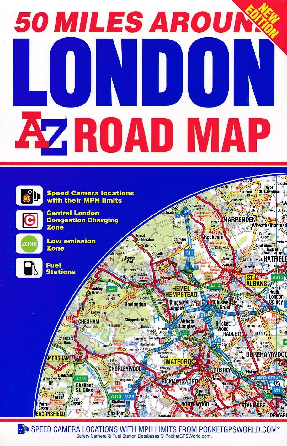
Published at a clear 3.5 miles to 1 inch the following features are shown on the road mapping:
Motorways open with full junction detail, motorways under construction and proposed, service areas, primary routes and destinations, A & B roads, selected minor roads, gradients 1:5 and steeper, tolls, mileages, county boundaries, spot heights and hill shading
Selected safety camera locations with maximum speed limits
Selected fuel stations
A wide range of ancillary and tourist information
South Downs National Park boundary
An index to cities, towns, villages, hamlets and locations is adjacent to the map.
Two overview maps are printed on the inside of the cover:
The London Congestion Charging Zone
The Greater London Low Emission Zone
€ 9,95
Verzendkosten: € 2,95Specificaties
Merk:
n.b.
EAN:
Je bestelt bij:
De Zwerver
Categorie:
Subcategorie:
Maat:
n.v.t.
Materiaal:
n.v.t.
Levertijd:
Aantal beschikbaar:
n.b.
Verkoopprijs
€ 9,95
Prijzen vanaf:
n.v.t.
Verzendkosten:
€ 2,95
ISBN:
9781782571087
Editie:
None
Uitgever:
A-Z Map Company
Beschrijft het volgende gebied:
Europa - Engeland - ♦ Kent
Taal:
engels
Direct bestellen: