
Wegenkaart - landkaart 585 Western USA - Western Canada | Michelin
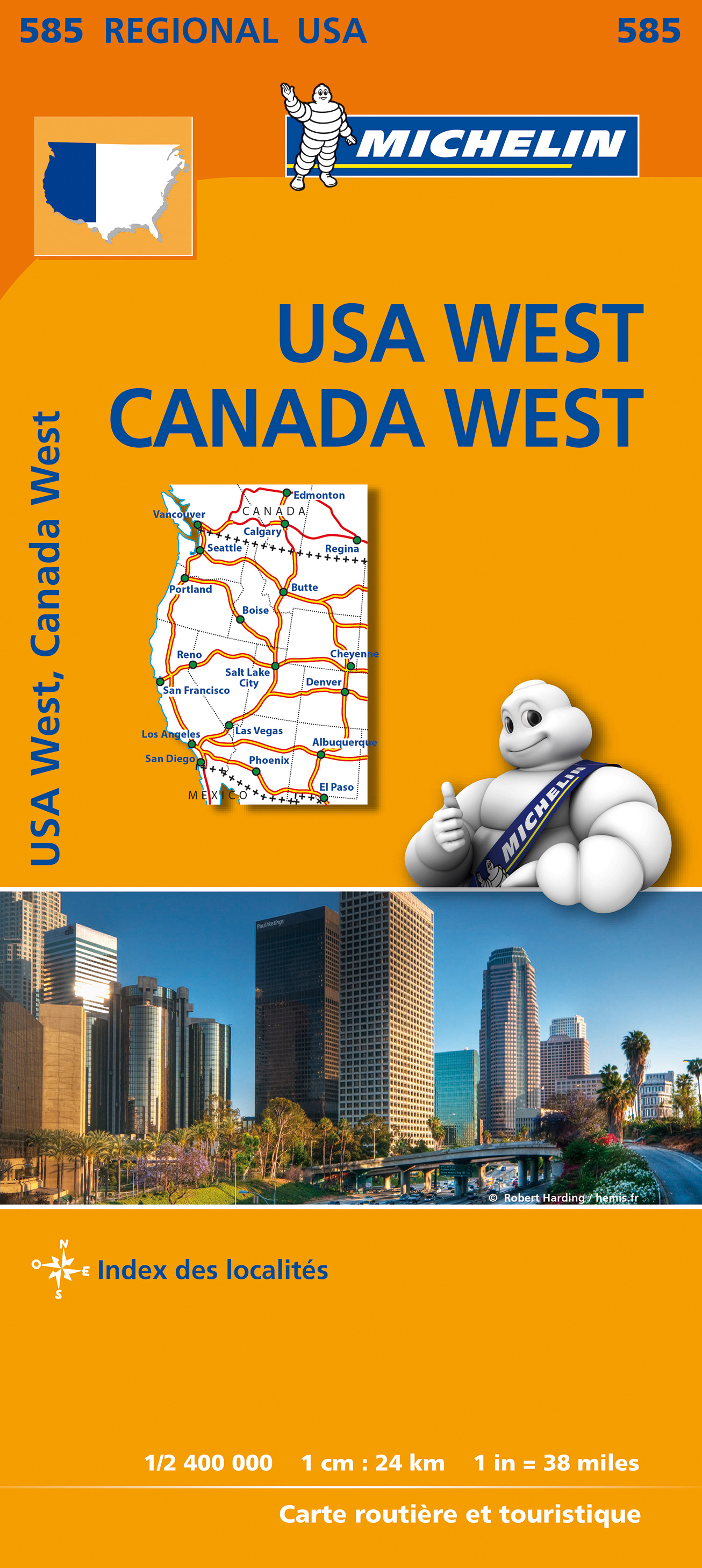
Wegenkaart van het westelijke gedeelte van de USA (zuid tot bovenste stukje Mexico, oost tot ongeveer Denver/ Regina) en westelijk Canada (t/m Edmonton in het noorden). Zie uitsnede op de voorkant van de kaart.
Primary & secondary road networks are clearly marked out with indications of the number of lanes, intermediate distances and various possible road obstacles or things you should know including steep hills, height limits, toll barriers, prohibited roads and roads subject to restrictions.
The map also includes small insets with street plans of the regions major towns, showing road names, one way streets and various places of interest (tourist sights, hospitals, parking, railway stations, etc.). Scenic routes on the map are marked out in green and an extensive index of place names is included.
The map also features:
Administrative boundaries
Railways, Airports and Ferry Services
Important sights such as castles, ruins, and churches
Driving Times and Distance Charts
Road Safety Information
A legend in multiple languages, including English
Californie, Canada, Colorado, Etats-Unis, Nord-Ouest américain, Ouest canadien, Sud-Ouest américain
€ 12,95
Verzendkosten: Zie website leverancierSpecificaties
Merk:
n.b.
EAN:
Je bestelt bij:
De Zwerver
Categorie:
Subcategorie:
Maat:
n.v.t.
Materiaal:
n.v.t.
Levertijd:
Aantal beschikbaar:
n.b.
Verkoopprijs
€ 12,95
Prijzen vanaf:
n.v.t.
Verzendkosten:
Zie website leverancier
ISBN:
Editie:
Uitgever:
Beschrijft het volgende gebied:
Noord-Amerika - Canada -
Taal:
Direct bestellen: