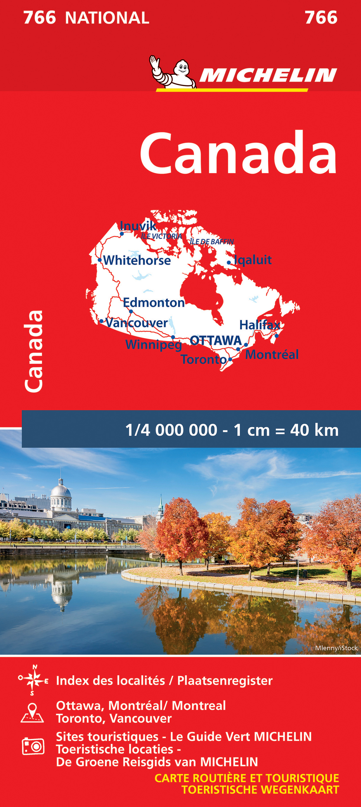
Wegenkaart - landkaart 766 Canada | Michelin
Zoals je van Michelin mag verwachten is deze kaart zeer overzichtelijk en heeft een duidelijk helder kaartbeeld. De kaart geeft uitgebreide toeristische informatie weer. De perfecte overzichtskaart!
This Canada map from Michelin is part of their red national map series. These are perfect for route planning as well as getting around by car once you're there. They clearly mark out major roads and also show many of the more important minor roads.
The map's simple folding design with durable paper cover, allows it to be read like a book and easily folded back together. Road numbers and intermediate distances are clearly displayed with the more scenic routes highlighted in green.
The map also features:
Political boundaries
Regional and National Parks
Important sights (points of interest, historic sites, etc.)
Driving Times and Distances
Road Safety Information
A legend in multiple languages (Dutch, English, French, German and Spanish)
Canada, Edmonton, Inuvik, Montréal, Ottawa, Toronto, Vancouver, Whitehorse, Winnipeg
€ 12,95
Verzendkosten: Zie website leverancierNu bestellen bij De Zwerver

