
Wegenkaart - landkaart 85001 Mauritius - île Maurice | IGN - Institut Géographique National
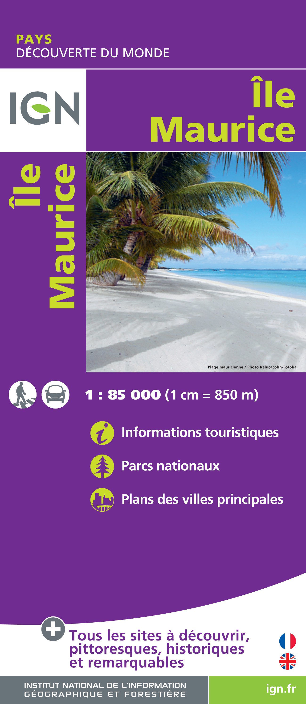
Duidelijke wegenkaart van Mauritius met een gedetailleerde schaal van 1:85.000 waardoor veel detail zichtbaar is. Alle gehuchten en bewoningen staan vermeld, maar ook met symbolen aangegeven bezienswaardigheden en bijvoorbeeld mooie stranden en nationale parken.
With this range IGN produces all purpose maps for many overseas countries, many of which have been under French rule in the past. Maps in this range are printed at scales which vary according to coverage area. These are ideal for touring and are suitable as a reference for those driving hire-cars. The up-to-date mapping provides a wealth of coloured road and track information plus place names, railway line routes etc. Many map symbols are used to locate and quickly identify points of interest, and the multilingual legend has English, French, German and Italian translations.Laminated:This laminated weatherproof map is the last word in durability and will outlast many other apparently similar products. The map is covered in tough polyester film, ideal for the serious walker who needs a map to withstand not only the weather but also general wear and tear. They can even come in useful in a downpour! Be assured that once you have used an "Outstanding All Weather Map", you will accept no substitute! Its durability also makes it ideal for the likes of libraries and tour companies, where constant handling soon degrades a paper map.
€ 10,75
Verzendkosten: € 2,95Specificaties
Merk:
n.b.
EAN:
Je bestelt bij:
De Zwerver
Categorie:
Subcategorie:
Maat:
n.v.t.
Materiaal:
n.v.t.
Levertijd:
Aantal beschikbaar:
n.b.
Verkoopprijs
€ 10,75
Prijzen vanaf:
n.v.t.
Verzendkosten:
€ 2,95
ISBN:
9782758540199
Editie:
21-11-2016
Uitgever:
IGN - Institut Géographique National
Beschrijft het volgende gebied:
Afrika - Mauritius -
Taal:
Direct bestellen: