Wegenkaart - landkaart Accra & Ghana zuid | ITMB
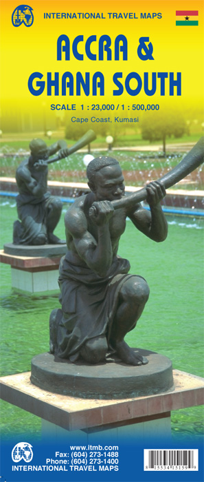
Ghana was the first African colony to become an independent nation, in 1957. It may not be the largest, most populous, or richest country on the continent, but it is one of the best-managed and prosperous democracies. One seldom hears about Ghana on the news as a result, because there is seldom bad news to report! Accra is one of the oldest cities in sub-Saharan Africa, and the coast of Ghana is littered by historical remnants of trading forts built by the Portuguese, the Dutch, and the British during the age of expansion. Accra itself is an interesting city and our motivation in publishing a map of it is simply the reality that no map existed prior to this effort. The regional map shows Ghana's coastline to advantage and the interior of the country as far north as Kumasi.
Legend Includes:
Roads by classification, Airports, Aerodromes and small aircrafts, Ferries, Bus terminals, Railway stations, Gas stations, Border crossing and custom posts, Hospitals, Museums, Tourist information centers, Points of interest, Ruins and archeology sites, Castles or forts, Churches, Mosques, Points of Interest, Viewpoints, Mines, Restaurants, Theatres, Banks, Embassies, Libraries, Shools, Universities, Shopping centers, Hotels, Notable buildings, Lodges, Campsites and huts, Wildlife reserves, Mountain peaks, Non-active volcanoes, Beaches, Waterfalls, Watersports, Golf courses, Radio towers, Stadiums and much more.
€ 13,95
Verzendkosten: Zie website leverancierNu bestellen bij De zwerver

