
Wegenkaart - landkaart Argentina South & Tierra Del Fuego | ITMB
Een degelijke kaart met aanduidingen van o.a. nationale parken, vliegveld, benzinepomp, dirt-roads etc. Als overzichtskaart goed te gebruiken.
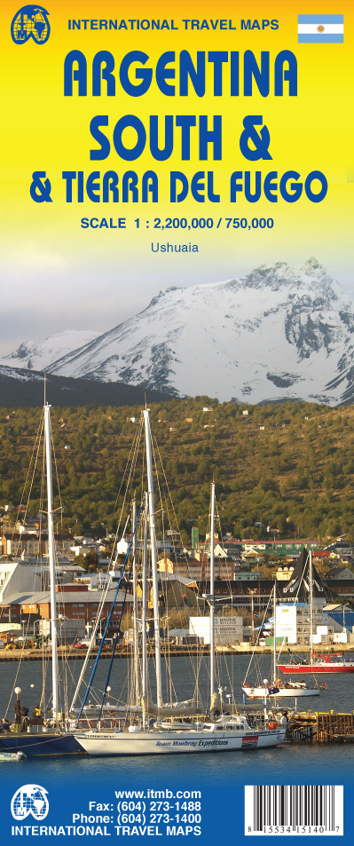
Op één kant van de kaart staat het zuiden van Argentinië (schaal 1:2.200.00) en op de andere kant staat Tierra del Fuego (schaal 1:750.000).
We have switched focus from Northern Argentina and Buenos Aires to Southern Argentina and Tierra del Fuego. This long stretch of South America's second largest country lies beside Chile and is home to many whales and sea lions watching sites. Throughout this long strip of a combination of mountains, seas, and forests, tourists will find this land to be unique and natural. On the other side of this map and at the very end of the two countries sits the famous Land of Fire island, Tierra del Fuego. This triangle shaped island is both part of Chile and Argentina and has been a desirable tourist destination. We have also included an inset map of Ushuaia, "the southernmost city in the world" that is closest to the South Pole.
Legend Includes:
Roads by classification, Airports, Ferries, Lighthouses, Hot Springs, View Points, Beaches, Ruins, Historical Sites, World Heritage Sites, Border Crossings, Points of Interest, Gas Stations, Museums, Churches, Post Offices, Shopping Centres, Monuments, Volcanoes, Camping Grounds, Oil Fields, Restaurants and more.
€ 13,95
Verzendkosten: Zie website leverancierSpecificaties
Merk:
n.b.
EAN:
Je bestelt bij:
De Zwerver
Categorie:
Subcategorie:
Maat:
n.v.t.
Materiaal:
n.v.t.
Levertijd:
Aantal beschikbaar:
n.b.
Verkoopprijs
€ 13,95
Prijzen vanaf:
n.v.t.
Verzendkosten:
Zie website leverancier
ISBN:
Editie:
Uitgever:
Beschrijft het volgende gebied:
Zuid-Amerika - Argentinië -
Taal:
Direct bestellen: