Wegenkaart - landkaart België, Luxemburg | Hallwag
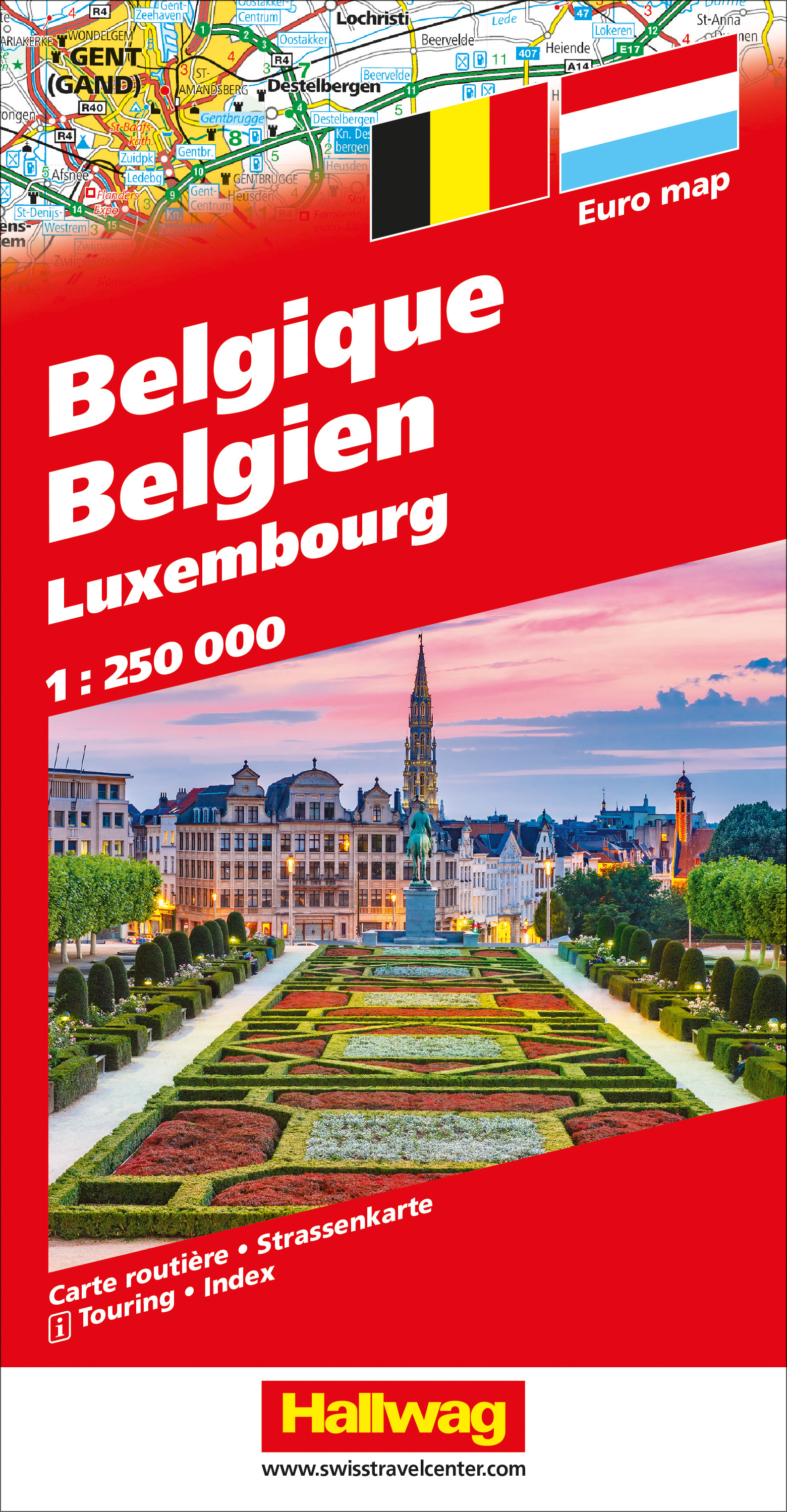
Zeer goede, gedetailleerde en up-to-date autokaart van België en Luxemburg. Met afstandentabel en uitgebreide legenda en index.
Hallwag road maps are renowned for their up-to-date information, clear layout and convenience. See for yourself the benefits of the Hallwag international map collection, with new ideas to make travel even easier.
The map also covers the north east of France. A range of symbols indicate information for tourists including: places of interests, viewpoints, natural curiosities, notable buildings and ruins, monuments, monasteries and churches, yearly and seasonal campsites, windmills, lighthouses and golf courses.
The map includes extensive transportation detail, multiple language information (English, German, Italian, and French), and a complete multiple language index. There are also inset maps showing more detail of the major cities. Relief shading clearly shows the topography of the land.
The map also includes Hallwag's Distoguide - the integrated mileage chart - on the outer map cover which is quick and easy to use and extremely practical for planning and travel. Simply read off more than 2000 distances on the sliding mileage chart integreated in the map cover.
€ 14,50
Verzendkosten: € 2,95Nu bestellen bij De Zwerver

