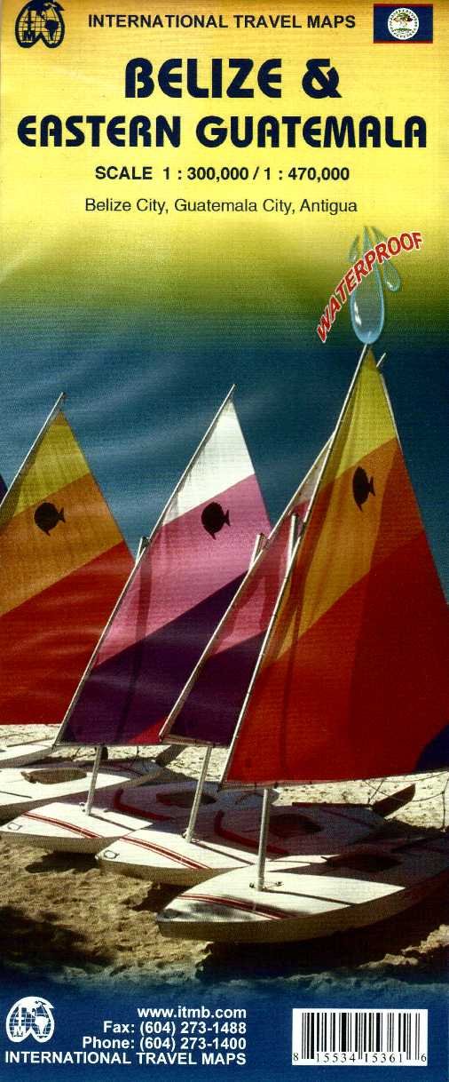
Wegenkaart - landkaart Belize & Guatemala East | ITMB
Een degelijke kaart met aanduidingen van o.a. nationale parken, vliegveld, benzinepomp, dirt-roads en kleine plattegrond van hoofdstad. Als overzichtskaart goed te gebruiken. Met oost Guatemala waaronder Tikal.
A folded travel and road map in color showing elevations. Indexed with town, camps, and villages. Scale 1:250,000. Legend is in English and Spanish. The map distinguishes paved and unpaved roads, seasonal roads, and tracks. Icons locate international airport, domestic airports with scheduled service, airstrips/ landing ground, lakes, rivers, swamps, coral reefs, protected area, bird sanctuaries, diving, border crossings, bridges, ports, fishing, major and minor archaeological sites. Includes: location of the barrier reefs, marine reserves, forest reserves, and other sites of ecological interest
€ 13,95
Verzendkosten: € 2,95Nu bestellen bij De Zwerver

