Wegenkaart - landkaart Costa Rica | Borch
Mooie geplasticieerde kaart van Costa Rica. Deze kaart biedt een goed overzicht van het land met detailkaarten.
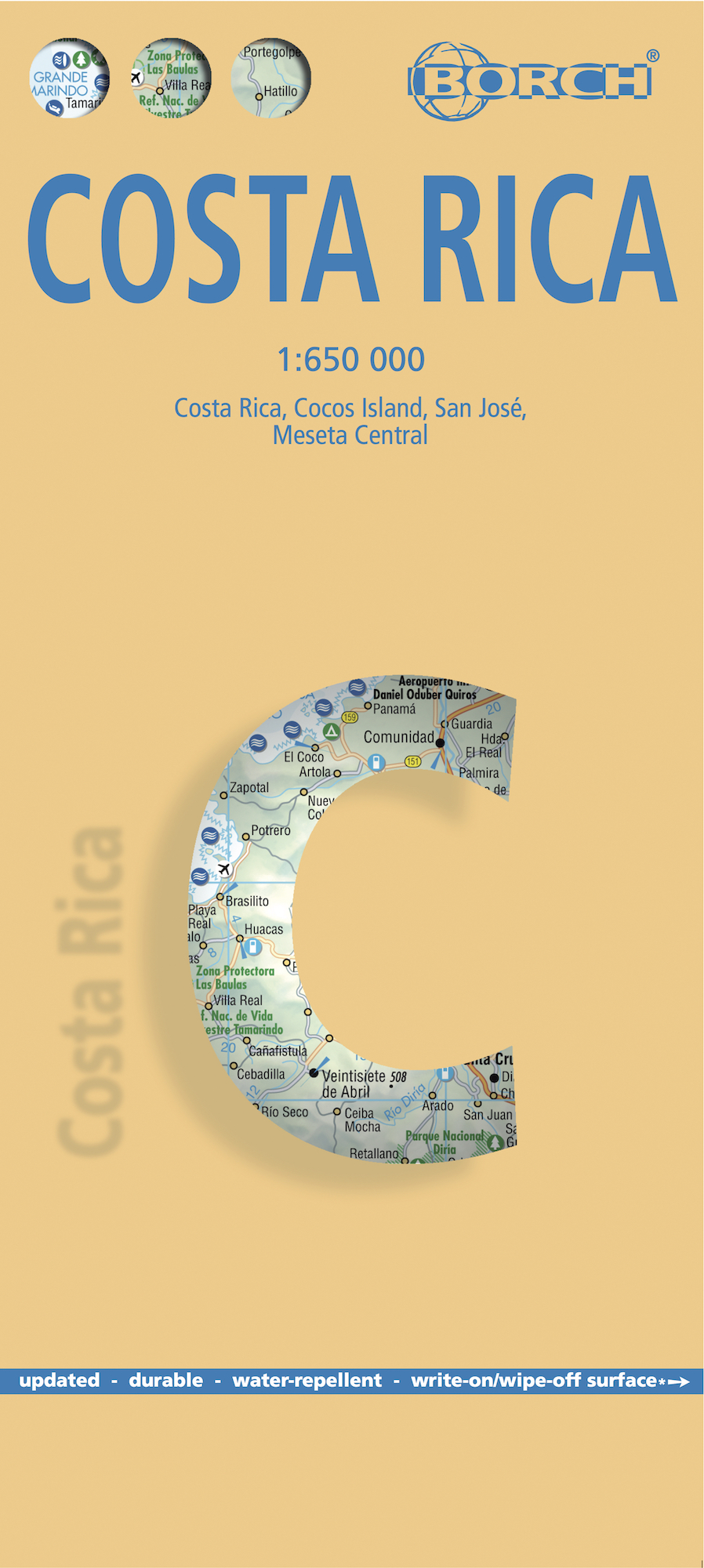
Our soft-laminated folded map of Costa Rica shows: Costa Rica 1:650 000, Cocos Island 1:150 000, San Jose 1:20 000, Meseta Central 1:300 000, Costa Rica administrative and time zones. Borch maps are easy to fold, durable and water-repellent with a wipeable surface. Borch Maps show hotels, museums, monuments, markets, public transport, top sights and points of interest, useful statistics, conversion charts for temperatures, weights and measurements, climate charts showing temperatures, sunshine hours, precipitation and humidity, overview maps, time zones, and much more...
The Republic of Costa Rica ("rich coast") is bordered by Nicaragua, Panama, the Pacific Ocean and the Caribbean Sea. Costa Rica abolished its army in 1949 and is an oasis of peace and tranquility in Central America. Democracy, a policy of neutrality and exemplary environmental standards (approx. 25% of the country is protected as national parks and nature reserves, 5% of the world's biodiversity is to be found here) have ensured this paradise remains pristine, indeed the country has seen a boom in ecotourism in recent years. The vegetation varies from evergreen rainforests, mangrove swamps and oak forests to pampa and is the natural habitat of a wide variety of animals and plants. The face of the country is dominated by wide strips of cultivated land where tropical fruits and spices, used in Costa Rica's diverse and delicious cuisine, are grown. The colloquial term for a native of Costa Rica is "Tico" or "Tica", the local language is Spanish, "Pura Vida" being the omnipresent motto that pervades life for the approx. 4.3 million people who live here.
€ 11,50
Verzendkosten: € 2,95Nu bestellen bij De Zwerver

