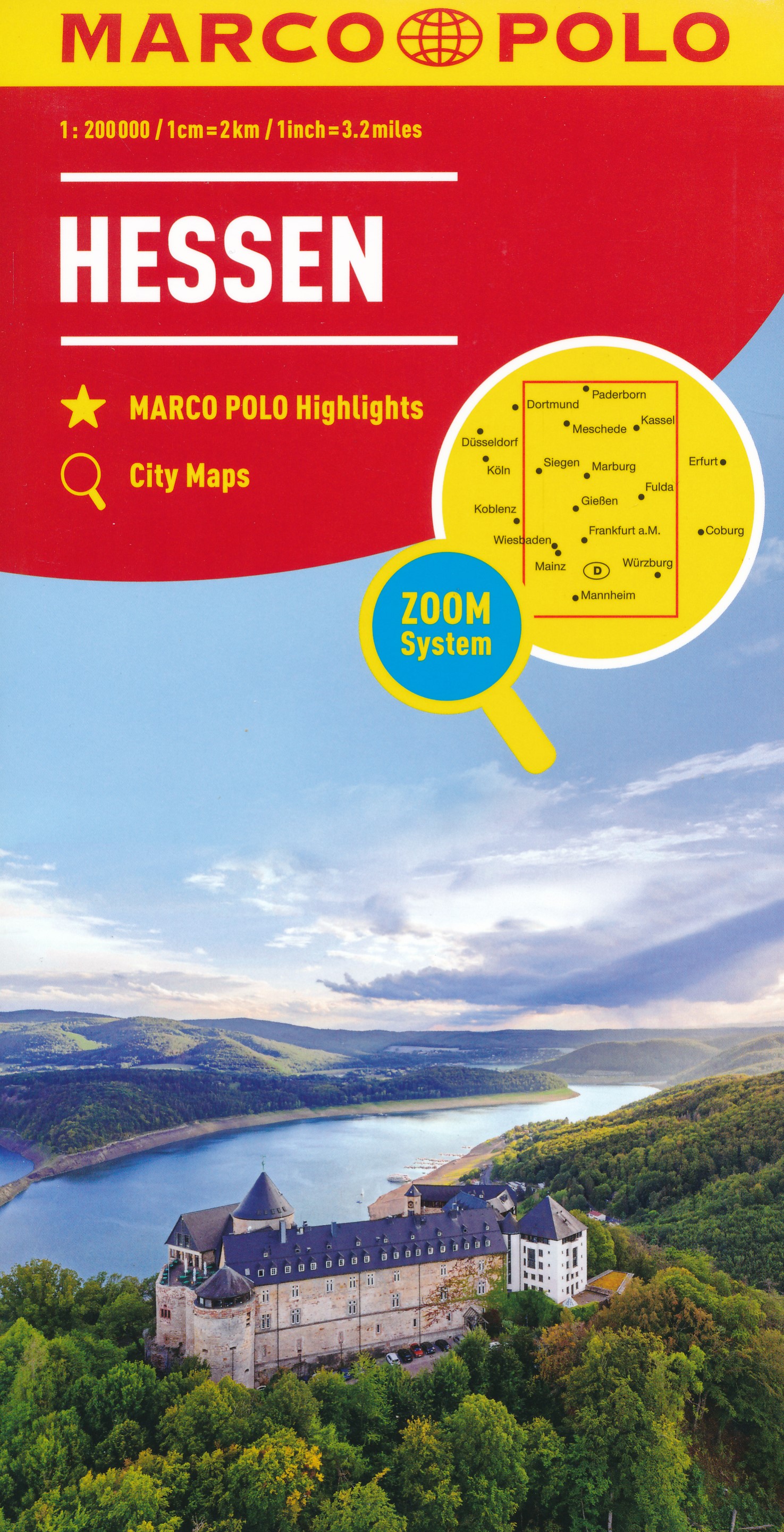
Wegenkaart - landkaart D6 Hessen | Marco Polo
Goede wegenkaart van een deel van Duitsland,met schaal 1:200.000: meer details dan de Michelin wegenkaarten van Duitsland. Deze kaarten hebben een register, een tabel met afstanden tussen steden, enkele centrumkaarten van de meest belangrijke steden, vermelding van o.a. campings aan de hand van symbolen alsmede de bezienswaardigheden. Ook benzinepompen worden bijvoorbeeld vermeld!
The maps retain the publisher’s traditional cartography of this series, boldly stressing main roads and motorways in strong colours and selected towns in large letters, but also showing minor roads and villages in considerable detail. Road information includes toll roads, traffic restrictions and seasonal closures, gradient marking for steep roads, scenic routes, etc. Motorway services clearly indicate types of facilities available there. Railway network includes narrow gauge and tourist lines, cable car lines, and chair lifts.
The series is particularly good for identifying geographical features: mountain and hill chains, valleys, national parks, etc. Picturesque towns and places of interest are given star rating, and other tourist information includes campsites and youth hostels, landmarks, recreational facilities etc. Latitude and longitude grid is drawn at intervals of 10'.
Each title comes with a booklet which contains street plans and maps at 1:100,000 highlighting road access to main cities, a table with distances and traveling times, main traffic and speed regulations, plus an extensive index of place names showing full postal code for each locality.
€ 13,95
Verzendkosten: Zie website leverancierNu bestellen bij De Zwerver

