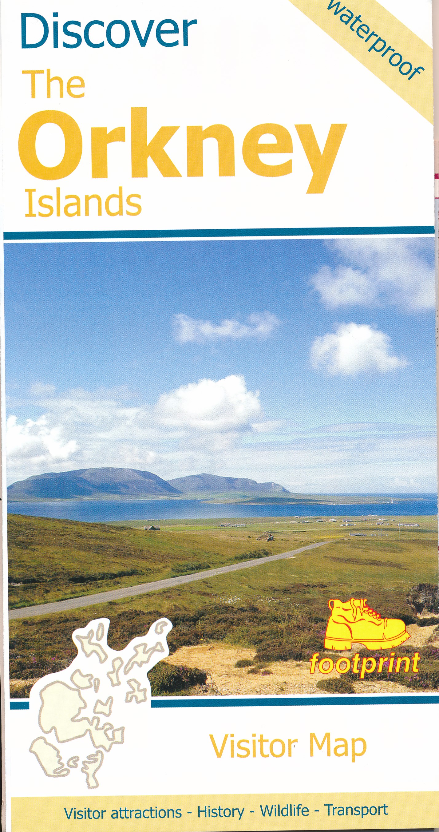
Wegenkaart - landkaart Discover the Orkney Islands | Footprint maps
A group of islands close to the north coast of Scotland, Orkney has a visible history spanning more than 5500 years. From the world’s best preserved Neolithic settlement at Skara Brae, through numerous Bronze Age stone circles and burial mounds, Iron Age brochs, Medieval churches and cathedrals, to the remains from more recent events during two World Wars, there is almost too much to see.
The scenery is outstanding. A wild coastline (the Old Man of Hoy is one one islands most iconic images) is backed by a surprisingly rich and fertile countryside. From Mainland (the largest and most populated island) ferries run regular services to a further twelve islands (and three more can be reached by causeway). Wildlife is abundant, particularly sea birds and mammals such as seals, dolphins and whales. Most of the islands are low lying with good road networks, making exploring by car, bicycle or foot easy.
€ 9,95
Verzendkosten: € 2,95Nu bestellen bij De Zwerver

