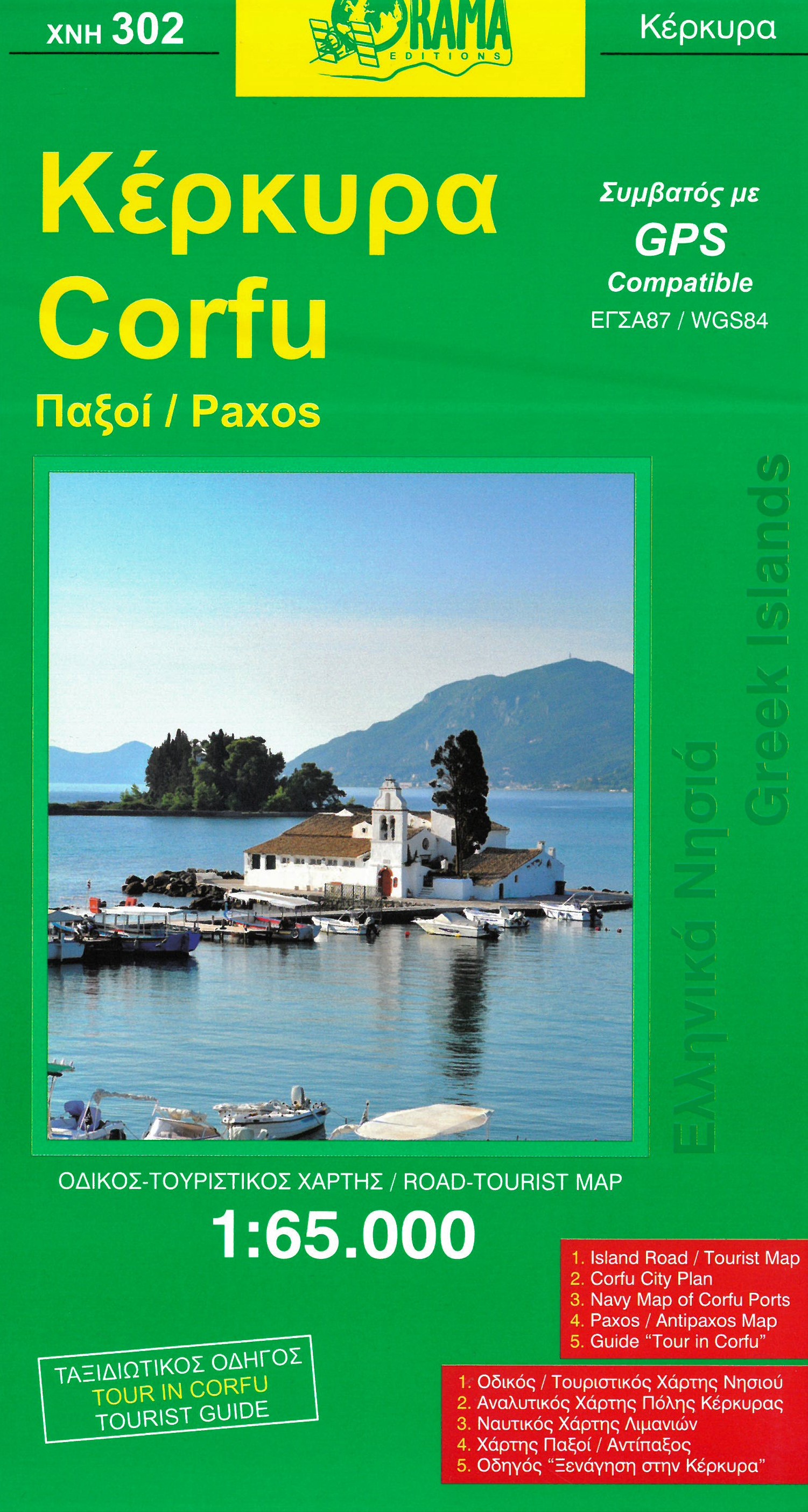
Wegenkaart - landkaart - Fietskaart 302 Corfu - Korfoe | Orama
Wefgenkaart van Korfu met veel details, als wandelkaart door de schaal net iets minder geschikt, voor fietsers prima. Mooie stranden, bezienswaardigheden, afstanden tussen dorpen staan er op ingetekend.
Corfu with Paxos at 1:65.000 on a road map with a street plan of Corfu/Kerkyra Town, notes on the island’s resorts, beaches and other places of interest, an extensive list of tourist accommodation, etc.
On one side is a map of Corfu, Paxos and Antipaxos, with the nearby islands of Mathraki, Othoni and Erikoussa on an inset. All place names are shown in both Greek and Latin alphabet. The map shows the islands’ road network, indicating dirt roads and distances on main routes.
€ 8,95
Verzendkosten: € 2,95Nu bestellen bij De Zwerver
Specificaties
Merk:
n.b.
EAN:
Je bestelt bij:
De Zwerver
Categorie:
Subcategorie:
Maat:
n.v.t.
Materiaal:
n.v.t.
Levertijd:
Aantal beschikbaar:
n.b.
Verkoopprijs
€ 8,95
Prijzen vanaf:
n.v.t.
Verzendkosten:
€ 2,95
ISBN:
9789608283077
Editie:
30-04-2019
Uitgever:
Orama
Beschrijft het volgende gebied:
Europa - Griekenland - ♦ Korfoe
Taal:
Direct bestellen:

